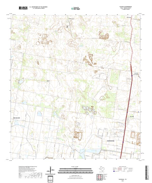
2022 Map of Faysville
USGS Topo · Published 2022About this map
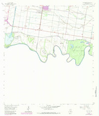
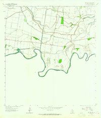
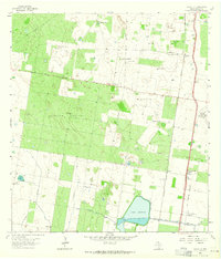
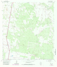
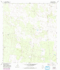
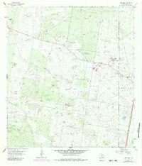
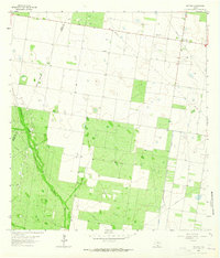
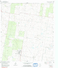
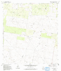
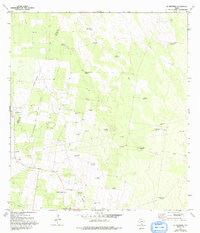
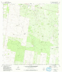
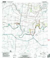
Laguna Seca and the northern outskirts of Edinburg anchor this 2022 survey of the Rio Grande Valley's inland brush and ranchlands. The landscape transitions from the dense street grids of northern McAllen and Edinburg into larger pastoral tracts and family-named landmarks. Features like Vela Cem and Guajolotes Enramada reflect the region's deep cultural roots, while Jackson Pasture indicates the continued importance of ranching in this part of Hidalgo County. Water management is evident in the presence of Lake Edinburg and Sapo Lake, which sit amidst a network of farm roads like FM 490. The map also captures modern infrastructure, including the South Texas International Airport at Edinburg, illustrating the intersection of traditional land use and contemporary regional development in South Texas.
Find a feature on this map
55 named features on this map. Tap any name to fly to it.
Don’t see what you’re looking for? This feature index may not catch every label — zoom into the map to look around manually.
Map Details
Editions of this 2022 Faysville Map
This is the sole edition of this map. No revisions or reprints were ever made.
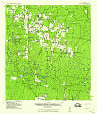
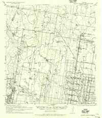
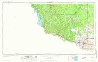
Historical Maps of Adam Lee Colonia Through Time
30 maps found
1939 La Reforma
Hidalgo County, TX
1940 Monte Christo
Hidalgo County, TX

1949 Mc Allen
Hidalgo County, TX
1957 Mc Allen
Hidalgo County, TX
1962 Las Milpas
Hidalgo County, TX
1962 San Juan SE
Hidalgo County, TX
1963 Faysvillle
Hidalgo County, TX
1963 Linn NE
Hidalgo County, TX
1963 Linn NW
Hidalgo County, TX
1963 Linn Siding
Hidalgo County, TX
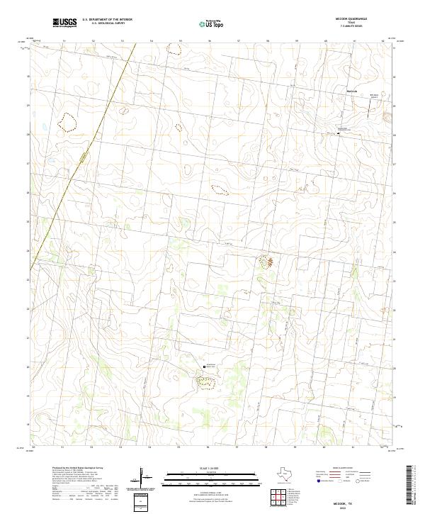
1963 McCook
Hidalgo County, TX
1963 Monte Christo
Hidalgo County, TX
1972 Bentsen Ranch
Hidalgo County, TX
1972 La Reforma
Hidalgo County, TX
1972 McAllen Ranch
Hidalgo County, TX

1983 Mc Allen
Hidalgo County, TX

1992 Mc Allen
Hidalgo County, TX
2002 Las Milpas
Hidalgo County, TX
2002 San Juan SE
Hidalgo County, TX
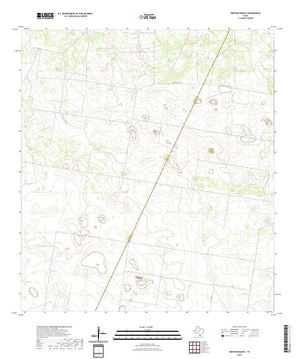
2022 Bentsen Ranch
Hidalgo County, TX
2022 Faysville
Hidalgo County, TX
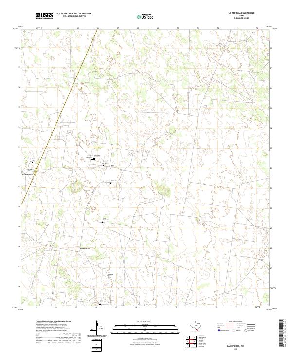
2022 La Reforma
Hidalgo County, TX
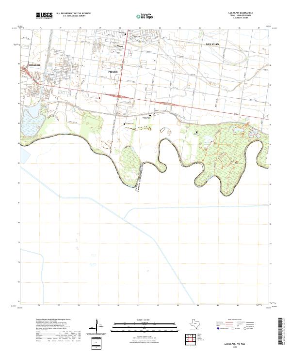
2022 Las Milpas
Hidalgo County, TX
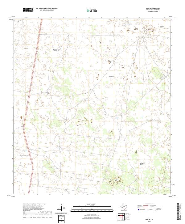
2022 Linn NE
Hidalgo County, TX
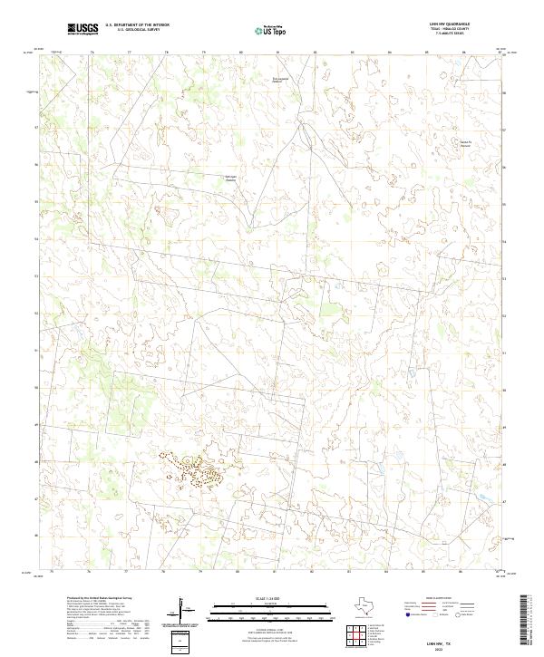
2022 Linn NW
Hidalgo County, TX
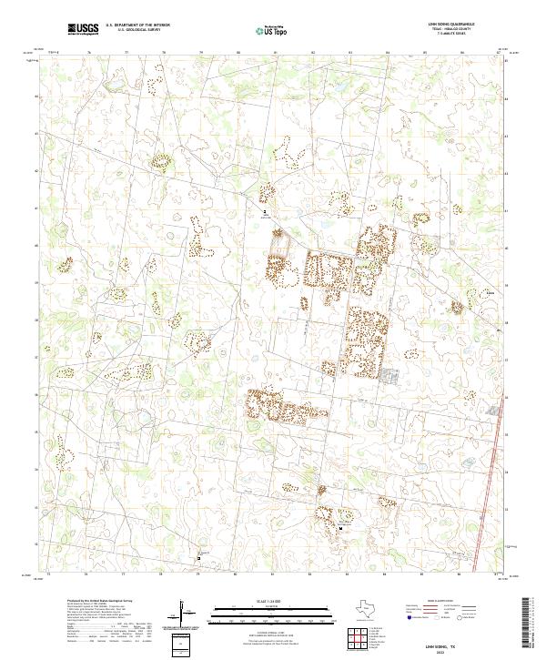
2022 Linn Siding
Hidalgo County, TX
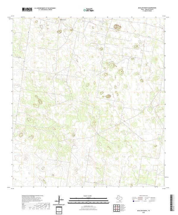
2022 McAllen Ranch
Hidalgo County, TX
2022 McCook
Hidalgo County, TX
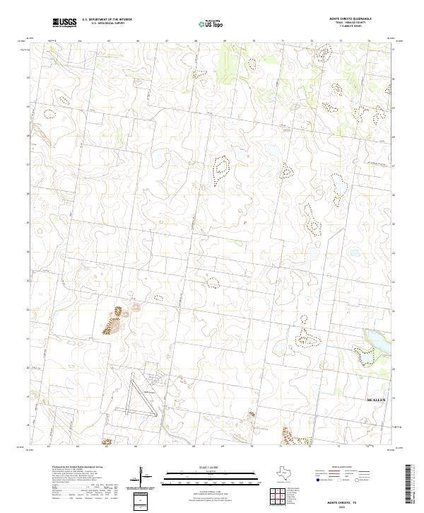
2022 Monte Christo
Hidalgo County, TX
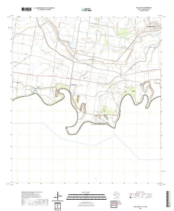
2022 San Juan SE
Hidalgo County, TX