
1955 Map of Fort Worth
USGS Topo · Published 1957About this map
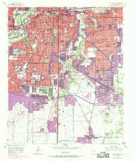
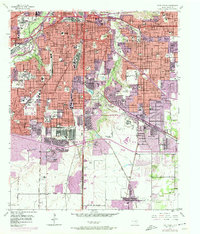
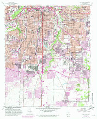
The Trinity River and its branches, the Clear Fork and West Fork, anchor this mid-1950s look at a rapidly growing urban landscape. While the central grid is dense with landmarks like the Will Rogers Memorial and the Botanical Gardens, the city's southern expansion is evidenced by the newly developing Southwest Loop and the Southeast Loop. The map documents a significant concentration of institutional life, from the Texas Wesleyan College and the Southwestern Baptist Theological Seminary to specialized facilities like the US Public Health Service Hospital and the Fort Worth General Depot.
Find a feature on this map
104 named features on this map. Tap any name to fly to it.
Don’t see what you’re looking for? This feature index may not catch every label — zoom into the map to look around manually.
Map Details
Editions of this 1955 Fort Worth Map
5 editions found

Other maps of this area

1894 · Fort Worth
USGS Topo · 1:125,000

1931 · Grapevine
USGS Topo · 1:62,500

1954 · Dallas
USGS Topo · 1:250,000

1955 · Haltom City
USGS Topo · 1:24,000

1955 · Burleson
USGS Topo · 1:24,000

1955 · Primrose
USGS Topo · 1:24,000

1955 · Lake Worth
USGS Topo · 1:24,000

1955 · Benbrook
USGS Topo · 1:24,000

1955 · Haltom City
USGS Topo · 1:62,500

1958 · Dallas
USGS Topo · 1:250,000