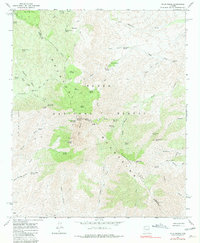
1964 Map of Four Peaks
USGS Topo · Published 1981About this map
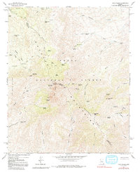
The Ma Na TZ Al Mountains dominate this 1960s survey, marking the rugged boundary between Maricopa and Gila Counties. Within the Tonto National Forest, the landscape is defined by its extreme verticality, anchored by the iconic Four Peaks and Browns Peak. This era of the mid-twentieth century shows a wilderness managed through a network of springs and packing trails, where reliable water sources like Amethyst Spring and Cienega Spring were critical waypoints for forest travel.
Find a feature on this map
60 named features on this map. Tap any name to fly to it.
Don’t see what you’re looking for? This feature index may not catch every label — zoom into the map to look around manually.
Map Details
Editions of this 1964 Four Peaks Map
5 editions found
Other maps of this area

1907 · Roosevelt
USGS Topo · 1:125,000

1909 · Four Peaks
USGS Topo · 1:125,000

1912 · Roosevelt
USGS Topo · 1:125,000

1954 · Mesa
USGS Topo · 1:250,000

1957 · Mesa
USGS Topo · 1:250,000

1958 · Mesa
USGS Topo · 1:250,000

1960 · Mesa
USGS Topo · 1:250,000
1963 · Mine Mountain
USGS Topo · 1:24,000

1964 · Mesa
USGS Topo · 1:250,000
1964 · Greenback Creek
USGS Topo · 1:24,000