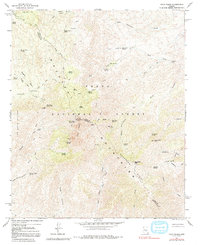
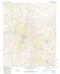
1964 Map of Four Peaks
USGS Topo · Published 1992About this map
The Mazatzal Mountains define this high-altitude landscape along the border of Gila and Maricopa counties. Dominated by the iconic Four Peaks, including the high point at Browns Peak, the terrain is marked by a complex network of springs and canyons within the Tonto National Forest. Water sources like Amethyst Spring, Cienega Spring, and Bumblebee Creek reveal the essential hydrology required for survival in this arid environment. Evidence of human presence is found at the historic Three Bar Cabin and the site of Soldier Camp, while several named prospects indicate the area's mineral interest. High ridges such as The Wata Ridges and Buckhorn Ridge are traversed by legacy routes like the Mazatzal Divide Tr and the Soldier Camp Trail, reflecting a history of backcountry travel and ranching activity before the modern era.
Find a feature on this map
59 named features on this map. Tap any name to fly to it.
Don’t see what you’re looking for? This feature index may not catch every label — zoom into the map to look around manually.
Map Details
Editions of this 1964 Four Peaks Map
5 editions found
Other maps of this area

1907 · Roosevelt
USGS Topo · 1:125,000

1909 · Four Peaks
USGS Topo · 1:125,000

1912 · Roosevelt
USGS Topo · 1:125,000

1954 · Mesa
USGS Topo · 1:250,000

1957 · Mesa
USGS Topo · 1:250,000

1958 · Mesa
USGS Topo · 1:250,000

1960 · Mesa
USGS Topo · 1:250,000
1963 · Mine Mountain
USGS Topo · 1:24,000

1964 · Mesa
USGS Topo · 1:250,000
1964 · Greenback Creek
USGS Topo · 1:24,000