
1911 Map of Franklin
USGS Topo · Published 1911About this map
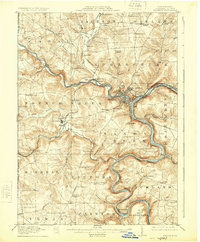
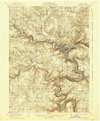
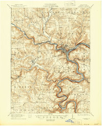
The Allegheny River and French Creek converge at Franklin, forming a geographic anchor for Venango County in the early twentieth century. This survey details a landscape where industry and institutional life followed the water, with the Pennsylvania RR and Erie RR lines tracing the riverbanks to serve riverside towns like Reno and Coal City. The map reveals the extensive grounds of the State Institute for Feeble Minded near Polk, alongside numerous rural community centers such as Bethel Church and the Oak Forest School. Local elevation and naming conventions are preserved through landmarks like Bully Hill and Gurney Hill, while the County Farm near Sugarcreek illustrates the social infrastructure of the era. This period shows the transition from earlier turnpike travel to a dense network of steam and electric rail, including the Electric RR branch near Prentice.
Find a feature on this map
96 named features on this map. Tap any name to fly to it.
Don’t see what you’re looking for? This feature index may not catch every label — zoom into the map to look around manually.
Map Details
Editions of this 1911 Franklin Map
4 editions found
Other maps of this area

1907 · Foxburg
USGS Topo · 1:62,500

1908 · Foxburg
USGS Topo · 1:62,500

1909 · Franklin
USGS Topo · 1:62,500

1910 · Hilliards
USGS Topo · 1:62,500

1911 · Stoneboro
USGS Topo · 1:62,500

1912 · Hilliards
USGS Topo · 1:62,500

1913 · Stoneboro
USGS Topo · 1:62,500

1913 · Mercer
USGS Topo · 1:62,500

1922 · Oil City
USGS Topo · 1:48,000

1923 · Meadville
USGS Topo · 1:62,500