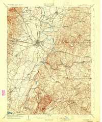
1909 Map of Frederick
USGS Topo · Published 1931About this map
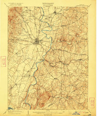
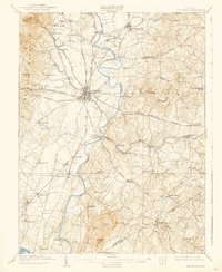
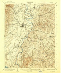
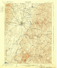
The Monocacy River flows through the heart of Frederick County, anchoring a landscape defined by its turn-of-the-century transportation network and varied topography. To the west, the prominent Catoctin Mountain ridge rises above settlements like Yellow Springs and Braddock, while the southern reaches are dominated by the singular peak of Sugarloaf Mtn. The map documents the city of Frederick during a transitional period for transit, showing the path of the Frederick and Middletown Electric RR alongside established lines like the Baltimore and Ohio RR.
Find a feature on this map
73 named features on this map. Tap any name to fly to it.
Don’t see what you’re looking for? This feature index may not catch every label — zoom into the map to look around manually.
Map Details
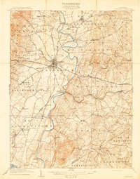
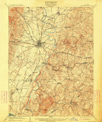
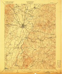
Editions of this 1909 Frederick Map
9 editions found

Other maps of this area

1884 · Harpers Ferry
USGS Topo · 1:125,000

1891 · Harpers Ferry
USGS Topo · 1:125,000

1893 · Frederick
USGS Topo · 1:125,000

1893 · Harpers Ferry
USGS Topo · 1:125,000

1894 · Frederick
USGS Topo · 1:125,000

1908 · Middletown
USGS Topo · 1:48,000

1908 · Rockville
USGS Topo · 1:62,500

1908 · Seneca
USGS Topo · 1:62,500

1908 · Ijamsville
USGS Topo · 1:62,500

1909 · Mount Airy
USGS Topo · 1:62,500