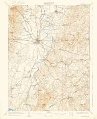
1909 Map of Frederick
USGS Topo · Published 1938About this map
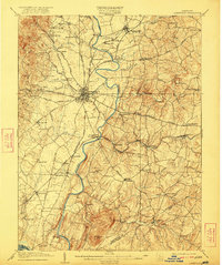
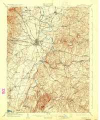
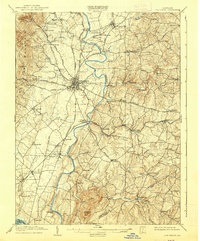
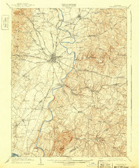
The city of Frederick stands as a central hub in the early twentieth century, where a dense network of turnpikes and railroads converges along the Monocacy River. This landscape reflects a mature agricultural and early industrial economy, with the Northern Central RR and B and O RR carving paths through the Piedmont hills. Noteworthy local landmarks include the Montevue Almshouse northwest of the city and the Chestnut Grove Sch near Libertytown. To the west, the steep rise of Catoctin Mountain and High Knob provides a sharp topographic contrast to the fertile valleys. In the southern portion, the iconic Sugarloaf Mtn dominates the terrain near the Frederick and Montgomery County line. The map captures an era of river crossings and small mill communities, tracing the winding courses of Linganore Creek and Bush Creek as they feed the primary river system.
Find a feature on this map
96 named features on this map. Tap any name to fly to it.
Don’t see what you’re looking for? This feature index may not catch every label — zoom into the map to look around manually.
Map Details
Editions of this 1909 Frederick Map
9 editions found

Other maps of this area

1884 · Harpers Ferry
USGS Topo · 1:125,000

1891 · Harpers Ferry
USGS Topo · 1:125,000

1893 · Frederick
USGS Topo · 1:125,000

1893 · Harpers Ferry
USGS Topo · 1:125,000

1894 · Frederick
USGS Topo · 1:125,000

1908 · Middletown
USGS Topo · 1:48,000

1908 · Rockville
USGS Topo · 1:62,500

1908 · Seneca
USGS Topo · 1:62,500

1908 · Ijamsville
USGS Topo · 1:62,500

1909 · Mount Airy
USGS Topo · 1:62,500