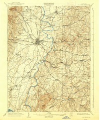
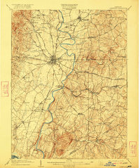
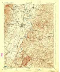
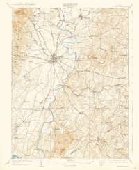
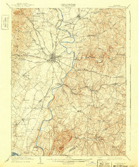
1909 Map of Frederick
USGS Topo · Published 1939About this map
The Monocacy River winds through the heart of this landscape, serving as a corridor for early transportation and industrial development. The city of Frederick stands as a focal point where multiple turnpikes converge, including the Liberty Turnpike and Baltimore Turnpike. Significant early 20th-century infrastructure is visible, such as the Frederick RR (Electric) and the Baltimore and Ohio RR, which cross the river at Frederick Junc Araby PO. The terrain is defined by the prominent Sugarloaf Mtn to the south and the eastern slopes of Catoctin Mountain to the west. Local social history is noted by landmarks like the Almshouse and smaller rural centers such as Walkersville, Ijamsville, and New Market, illustrating a well-established network of mills, schools like Chestnut Grove Sch, and agricultural hamlets.
Find a feature on this map
83 named features on this map. Tap any name to fly to it.
Don’t see what you’re looking for? This feature index may not catch every label — zoom into the map to look around manually.
Map Details
Editions of this 1909 Frederick Map
9 editions found

Other maps of this area

1884 · Harpers Ferry
USGS Topo · 1:125,000

1891 · Harpers Ferry
USGS Topo · 1:125,000

1893 · Frederick
USGS Topo · 1:125,000

1893 · Harpers Ferry
USGS Topo · 1:125,000

1894 · Frederick
USGS Topo · 1:125,000

1908 · Middletown
USGS Topo · 1:48,000

1908 · Rockville
USGS Topo · 1:62,500

1908 · Seneca
USGS Topo · 1:62,500

1908 · Ijamsville
USGS Topo · 1:62,500

1909 · Mount Airy
USGS Topo · 1:62,500