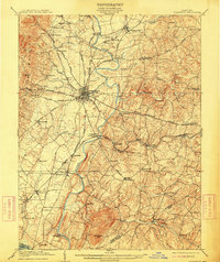
1909 Map of Ijamsville
USGS Topo · Published 1913About this map
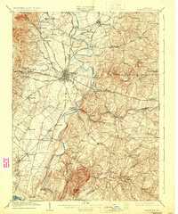
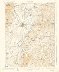
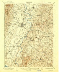
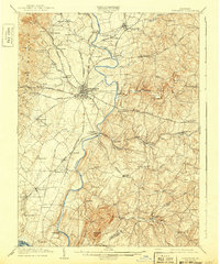
Frederick serves as the central hub of this early twentieth-century survey, where a sophisticated network of turnpikes and railroads converges along the Monocacy River. The landscape reveals a transition from the prominent heights of Catoctin Mountain and High Knob in the west to the rolling agricultural valley floor. Significant local infrastructure is documented, including the Montevue Almshouse and the unique junction at Frederick Junc Araby PO. Transportation is a defining characteristic of the era, with the Middletown Electric RR and the Northern Central RR facilitating movement alongside historic river crossings like Biggs Ford Bridge and Hughes Ford. Small settlements and railroad stops such as Charlesville Sta, Limekiln, and Adamstown anchor the rural landscape, providing a window into the industrial and social geography of the county before modern development. In the south, the isolated peak of Sugarloaf Mtn stands as a distinct landmark near Greenfield Mills.
Find a feature on this map
82 named features on this map. Tap any name to fly to it.
Don’t see what you’re looking for? This feature index may not catch every label — zoom into the map to look around manually.
Map Details
Editions of this 1909 Ijamsville Map
9 editions found

Other maps of this area

1884 · Harpers Ferry
USGS Topo · 1:125,000

1891 · Harpers Ferry
USGS Topo · 1:125,000

1893 · Frederick
USGS Topo · 1:125,000

1893 · Harpers Ferry
USGS Topo · 1:125,000

1894 · Frederick
USGS Topo · 1:125,000

1908 · Middletown
USGS Topo · 1:48,000

1908 · Rockville
USGS Topo · 1:62,500

1908 · Seneca
USGS Topo · 1:62,500

1908 · Ijamsville
USGS Topo · 1:62,500

1909 · Mount Airy
USGS Topo · 1:62,500