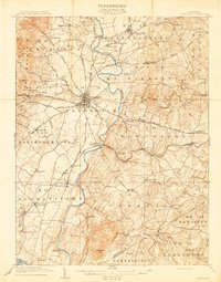
1909 Map of Ijamsville
USGS Topo · Published 1909About this map
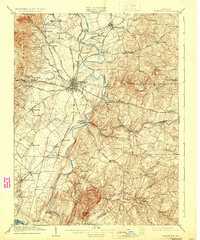
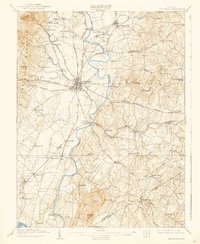
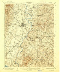
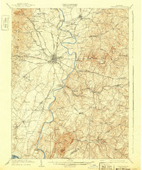
The Monocacy River serpentines through this 1909 survey of Frederick County, serving as the central artery for a landscape defined by turnpike travel and early rail commerce. The city of Frederick stands as a significant hub, where the Baltimore and Ohio RR and an Electric RR converge with historic thoroughfares like the Emmitsburg Turnpike and Baltimore Turnpike. Outside the city center, the map reveals the social and industrial fabric of the early 20th century, from the Almshouse north of town to the localized industry at Reels Mill and Fountain Rock. In the south, the terrain rises toward the prominent Sugarloaf Mtn, while the B and O Canal skirts the southwestern corner along the Potomac, illustrating the overlapping layers of transportation technology that shaped Maryland's development before the dominance of modern highways.
Find a feature on this map
101 named features on this map. Tap any name to fly to it.
Don’t see what you’re looking for? This feature index may not catch every label — zoom into the map to look around manually.
Map Details
Editions of this 1909 Ijamsville Map
9 editions found

Other maps of this area

1884 · Harpers Ferry
USGS Topo · 1:125,000

1891 · Harpers Ferry
USGS Topo · 1:125,000

1893 · Frederick
USGS Topo · 1:125,000

1893 · Harpers Ferry
USGS Topo · 1:125,000

1894 · Frederick
USGS Topo · 1:125,000

1908 · Middletown
USGS Topo · 1:48,000

1908 · Rockville
USGS Topo · 1:62,500

1908 · Seneca
USGS Topo · 1:62,500

1908 · Ijamsville
USGS Topo · 1:62,500

1909 · Mount Airy
USGS Topo · 1:62,500