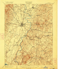
1909 Map of Ijamsville
USGS Topo · Published 1922About this map
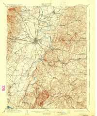
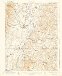
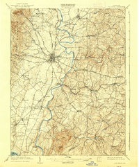
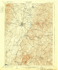
Frederick serves as the focal point of this Maryland landscape, where the Monocacy River winds through a terrain defined by early twentieth-century turnpikes and rail lines. The map reveals a dense network of smaller settlements such as Walkersville, Ijamsville, and Libertytown, connected by the Baltimore Turnpike and Middletown Turnpike. Of particular interest to local historians is the placement of the Montevue Almshouse northwest of the city, and the specific junction at Frederick Junc Araby PO, which highlights the importance of the B and O RR to the local economy. To the south, the prominent rise of Sugarloaf Mtn anchors the topography near the Frederick and Montgomery County boundary. The presence of several mills and fords, including Reels Mill and Hughes Ford, suggests a rural life still deeply connected to the river and its tributaries like Linganore Creek.
Find a feature on this map
80 named features on this map. Tap any name to fly to it.
Don’t see what you’re looking for? This feature index may not catch every label — zoom into the map to look around manually.
Map Details
Editions of this 1909 Ijamsville Map
9 editions found

Other maps of this area

1884 · Harpers Ferry
USGS Topo · 1:125,000

1891 · Harpers Ferry
USGS Topo · 1:125,000

1893 · Frederick
USGS Topo · 1:125,000

1893 · Harpers Ferry
USGS Topo · 1:125,000

1894 · Frederick
USGS Topo · 1:125,000

1908 · Middletown
USGS Topo · 1:48,000

1908 · Rockville
USGS Topo · 1:62,500

1908 · Seneca
USGS Topo · 1:62,500

1908 · Ijamsville
USGS Topo · 1:62,500

1909 · Mount Airy
USGS Topo · 1:62,500