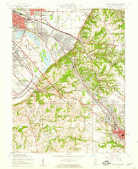
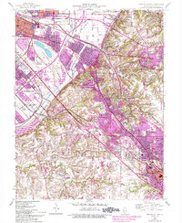
1954 Map of French Village
USGS Topo · Published 1959About this map
The urban periphery of East St Louis and Belleville meets the rising bluffs of the American Bottoms in this mid-century portrait of St. Clair County. The transition from industrial lowlands to residential heights is marked by a complex web of transportation, where the Alton and Southern and Southern Railroad navigate the terrain alongside Harding Ditch. In the wetlands of Grand Marais State Park, leisure features like an Amphitheater contrast with the heavy industrial footprints of a Clay Pit and Shale Mine near French Village. The map captures a moment of institutional shifts, documenting several closed rural landmarks including Twiss Hill Sch and Clover Leaf Sch, alongside established religious and educational centers like St Henry College and the Assumption Sch.
Find a feature on this map
70 named features on this map. Tap any name to fly to it.
Don’t see what you’re looking for? This feature index may not catch every label — zoom into the map to look around manually.
Map Details
Editions of this 1954 French Village Map
5 editions found
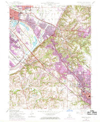
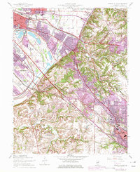
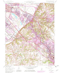
Other maps of this area

1888 · St. Louis
USGS Topo · 1:62,500

1907 · Belleville
USGS Topo · 1:62,500

1910 · Waterloo
USGS Topo · 1:62,500

1912 · New Athens
USGS Topo · 1:62,500

1913 · Waterloo
USGS Topo · 1:62,500

1931 · French Village
USGS Topo · 1:24,000

1933 · Granite City
USGS Topo · 1:24,000

1933 · Cahokia
USGS Topo · 1:24,000

1934 · Cahokia
USGS Topo · 1:24,000

1935 · French Village
USGS Topo · 1:24,000