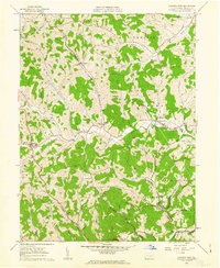
1961 Map of Garards Fort
USGS Topo · Published 1963About this map
Garards Fort serves as a focal point for this Greene County landscape, situated where the valley hills meet the winding Whiteley Creek. The map records a rural community defined by its coal-country roots and family-centric landmarks, including the Morris Cem, Whiteley Cem, and Cowell Cem. Industrial infrastructure is visible through numerous gas wells and ventilation points like the Garards Fort Shaft and Kirby Shaft, reflecting the subsurface economy of the early 1960s.
Find a feature on this map
45 named features on this map. Tap any name to fly to it.
Don’t see what you’re looking for? This feature index may not catch every label — zoom into the map to look around manually.
Map Details
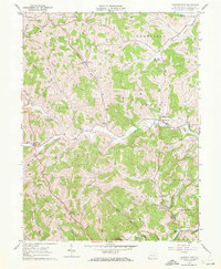
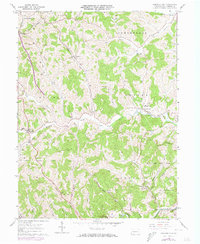
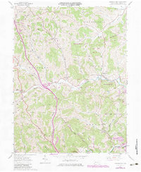
Editions of this 1961 Garards Fort Map
4 editions found
Other maps of this area

1900 · Masontown
USGS Topo · 1:62,500

1901 · Waynesburg
USGS Topo · 1:62,500

1902 · Morgantown
USGS Topo · 1:62,500

1903 · Masontown
USGS Topo · 1:62,500

1904 · Blacksville
USGS Topo · 1:62,500

1904 · Waynesburg
USGS Topo · 1:62,500

1923 · Blacksville
USGS Topo · 1:62,500

1925 · Blacksville
USGS Topo · 1:62,500

1925 · Morgantown
USGS Topo · 1:62,500

1931 · Masontown
USGS Topo · 1:62,500