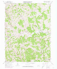
1961 Map of Garards Fort
USGS Topo · Published 1973About this map
Garards Fort and the surrounding townships of Greene County are documented here as they appeared in the early 1960s, with later updates from the 1970s. The landscape is heavily defined by the winding course of Whiteley Creek and its many tributaries, such as Frosty Run and Dutch Run. In the southern portion of the sheet, the terrain shifts toward the Dunkard Creek basin, which marks the edge of State Game Lands No 223.
Find a feature on this map
46 named features on this map. Tap any name to fly to it.
Don’t see what you’re looking for? This feature index may not catch every label — zoom into the map to look around manually.
Map Details
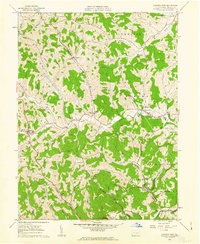
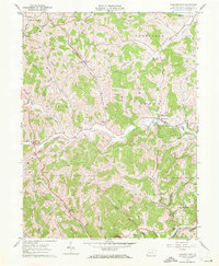
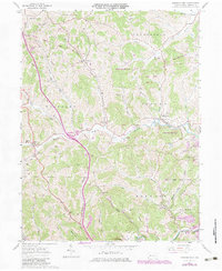
Editions of this 1961 Garards Fort Map
4 editions found
Other maps of this area

1900 · Masontown
USGS Topo · 1:62,500

1901 · Waynesburg
USGS Topo · 1:62,500

1902 · Morgantown
USGS Topo · 1:62,500

1903 · Masontown
USGS Topo · 1:62,500

1904 · Blacksville
USGS Topo · 1:62,500

1904 · Waynesburg
USGS Topo · 1:62,500

1923 · Blacksville
USGS Topo · 1:62,500

1925 · Blacksville
USGS Topo · 1:62,500

1925 · Morgantown
USGS Topo · 1:62,500

1931 · Masontown
USGS Topo · 1:62,500