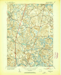
1953 Map of Georgetown
USGS Topo · Published 1954About this map
Georgetown Rowley State Forest and the Willowdale State Forest dominate the central landscape of this 1953 survey, illustrating the extensive conservation and timber lands preserved in Essex County. The map details the transition from rural crossroads like Leightons Corner and Kent Corner to the organized town centers of Topsfield and Georgetown. The presence of the Parker River and Ipswich River highlights the historical reliance on these waterways for early industry, such as that found at Glen Mills. Cultural and educational heritage is evident in the inclusion of Dummer Academy and the religious camp meeting grounds at Asbury Grove. Local historians can trace the Boston and Maine rail corridor as it cuts through the terrain, connecting disparate settlements like South Georgetown and Boxford to the larger regional economy of the mid-twentieth century.
Find a feature on this map
70 named features on this map. Tap any name to fly to it.
Don’t see what you’re looking for? This feature index may not catch every label — zoom into the map to look around manually.
Map Details
Editions of this 1953 Georgetown Map
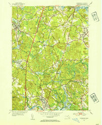
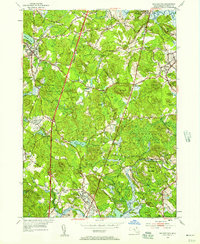
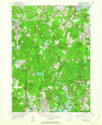
4 editions found
Other maps of this area

1886 · Lawrence
USGS Topo · 1:62,500

1888 · Newburyport
USGS Topo · 1:62,500

1888 · Haverhill
USGS Topo · 1:62,500

1888 · Lawrence
USGS Topo · 1:62,500

1888 · Salem
USGS Topo · 1:62,500

1890 · Haverhill
USGS Topo · 1:62,500

1890 · Newburyport
USGS Topo · 1:62,500

1893 · Salem
USGS Topo · 1:62,500

1893 · Lawrence
USGS Topo · 1:62,500

1893 · Haverhill
USGS Topo · 1:62,500