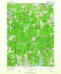
1953 Map of Georgetown
USGS Topo · Published 1963About this map
Dummer Academy stands as a prominent cultural landmark in the northern reaches of this Essex County landscape, situated near the winding Parker River. The area is characterized by a dense network of glacial hills, such as Ox Pasture Hill and Prospect Hill, and extensive wetlands including the Great Swamp Bk and Wenham Swamp. The post-war era shows a region balanced between its deep colonial roots and modern infrastructure, with U S Highway 1 cutting a direct path through the historic town boundaries of Rowley and Topsfield. Smaller clusters like Kinsman Corner and Dodge Corner reflect a traditional New England settlement pattern that persisted alongside the Boston and Maine railroad. In the south, the religious camp meeting grounds at Asbury Grove and the institutional presence of the Fairground near the Ipswich River highlight the diverse social and community uses of the land during the early 1950s.
Find a feature on this map
71 named features on this map. Tap any name to fly to it.
Don’t see what you’re looking for? This feature index may not catch every label — zoom into the map to look around manually.
Map Details
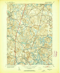
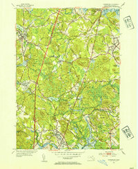
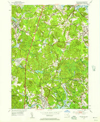
Editions of this 1953 Georgetown Map
4 editions found
Other maps of this area

1886 · Lawrence
USGS Topo · 1:62,500

1888 · Newburyport
USGS Topo · 1:62,500

1888 · Haverhill
USGS Topo · 1:62,500

1888 · Lawrence
USGS Topo · 1:62,500

1888 · Salem
USGS Topo · 1:62,500

1890 · Haverhill
USGS Topo · 1:62,500

1890 · Newburyport
USGS Topo · 1:62,500

1893 · Salem
USGS Topo · 1:62,500

1893 · Lawrence
USGS Topo · 1:62,500

1893 · Haverhill
USGS Topo · 1:62,500