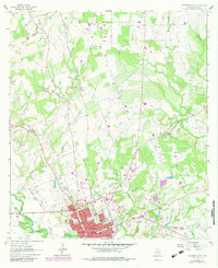
1962 Map of Gonzales North
USGS Topo · Published 1983About this map
Gonzales serves as the focal point for this 1962 survey, situated at the historic confluence where the Guadalupe River meets the San Marcos River. The map illustrates a well-established community defined by its civic and spiritual infrastructure, including Edwards High Sch, North Ave Sch, and St James Ch. The surrounding landscape is etched with the drainage patterns of several tributaries, such as Tinsley Creek and Berry Creek, alongside an industrial footprint marked by Gravel Pits and the Southern Pacific railroad line. Genealogists will find significant value in the distribution of burial sites across the quadrangle, ranging from the central Old Fellows Cem and Masonic Cem to the more outlying Denton Creek Cem. Traces of earlier transit remain visible via the Old Railroad Grade, providing a physical record of the region's evolving transportation network during the mid-20th century.
Find a feature on this map
34 named features on this map. Tap any name to fly to it.
Don’t see what you’re looking for? This feature index may not catch every label — zoom into the map to look around manually.
Map Details
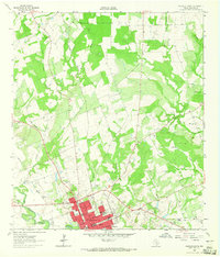
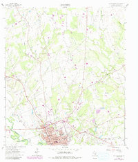
Editions of this 1962 Gonzales North Map
Other maps of this area

1901 · Flatonia
USGS Topo · 1:125,000

1911 · San Marcos
USGS Topo · 1:125,000

1919 · San Marcos
USGS Topo · 1:125,000

1920 · Smiley
USGS Topo · 1:125,000

1925 · San Marcos 4-a
USGS Topo · 1:48,000

1929 · Luling
USGS Topo · 1:62,500

1953 · Seguin
USGS Topo · 1:250,000

1958 · Seguin
USGS Topo · 1:250,000

1959 · Ottine
USGS Topo · 1:24,000

1959 · Cost
USGS Topo · 1:24,000