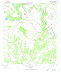
1959 Map of Gonzales South
USGS Topo · Published 1974About this map
The confluence of the San Marcos River and the Guadalupe River serves as the focal point for this survey south of Gonzales. This landscape is defined by the winding paths of these waterways, where oxbow lakes such as Stahl Lake and Wood Lake mark former river channels. The terrain rises to the prominent Santa Anna Mound, a landmark that overlooks the surrounding bottomlands and tributary streams like Tinsley Creek and Cottle Creek.
Find a feature on this map
28 named features on this map. Tap any name to fly to it.
Don’t see what you’re looking for? This feature index may not catch every label — zoom into the map to look around manually.
Map Details
Editions of this 1959 Gonzales South Map
3 editions found

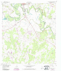
Other maps of this area

1901 · Flatonia
USGS Topo · 1:125,000

1911 · San Marcos
USGS Topo · 1:125,000

1919 · San Marcos
USGS Topo · 1:125,000

1920 · Smiley
USGS Topo · 1:125,000

1929 · Luling
USGS Topo · 1:62,500

1953 · Seguin
USGS Topo · 1:250,000

1958 · Seguin
USGS Topo · 1:250,000

1959 · Ottine
USGS Topo · 1:24,000

1959 · Cost
USGS Topo · 1:24,000

1959 · Hochheim
USGS Topo · 1:24,000