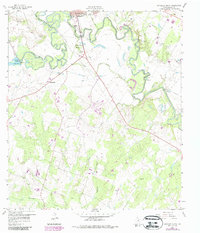
1959 Map of Gonzales South
USGS Topo · Published 1987About this map
The confluence of the San Marcos River and the Guadalupe River dominates this landscape south of Gonzales. The map captures a transitional rural environment where water management and industrial extraction intersect with legacy family settlements. Notable water features include Wood Lake (H-5 Lake) and Stahl Lake, while numerous gravel and clay pits along the riverbanks indicate the importance of resource extraction to the local economy. Several small burial grounds, such as De Witt Cem and Watson Cem, are scattered across the terrain, providing essential touchpoints for genealogists tracing family histories in this part of Gonzales County. From the prominent Santa Anna Mound to the small community of Summerville, the map details a region defined by its winding waterways and the creeks that feed them, including Tinsley Creek and Sadberry Creek.
Find a feature on this map
26 named features on this map. Tap any name to fly to it.
Don’t see what you’re looking for? This feature index may not catch every label — zoom into the map to look around manually.
Map Details
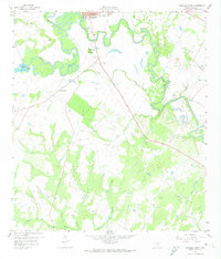
Editions of this 1959 Gonzales South Map
3 editions found

Other maps of this area

1901 · Flatonia
USGS Topo · 1:125,000

1911 · San Marcos
USGS Topo · 1:125,000

1919 · San Marcos
USGS Topo · 1:125,000

1920 · Smiley
USGS Topo · 1:125,000

1929 · Luling
USGS Topo · 1:62,500

1953 · Seguin
USGS Topo · 1:250,000

1958 · Seguin
USGS Topo · 1:250,000

1959 · Ottine
USGS Topo · 1:24,000

1959 · Cost
USGS Topo · 1:24,000

1959 · Hochheim
USGS Topo · 1:24,000