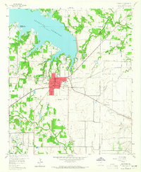
1959 Map of Grapevine
USGS Topo · Published 1965About this map
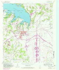
Grapevine Reservoir dominates the northern landscape of this survey, its shoreline reaching into the developing communities of Southlake and Grapevine. The area's transition from rural Tarrant County to a suburban hub is evident in the grid of local roads like Dove Loop and Bethel Road, punctuated by essential community landmarks such as Minters Chapel and the County Sch. The St Louis Southwestern RR cuts across the center of the sheet, linking the town centers and supporting local industry, including several Gravel Pits north of Coppell. South of the main settlement, the landscape remains defined by drainage systems like Big Bear Creek and Hackberry Creek, while the presence of Radio Stations (WFAA & WBAP) and a Drive-in Theater signals the mid-century modernization of the Dallas-Fort Worth metroplex periphery.
Find a feature on this map
46 named features on this map. Tap any name to fly to it.
Don’t see what you’re looking for? This feature index may not catch every label — zoom into the map to look around manually.
Map Details
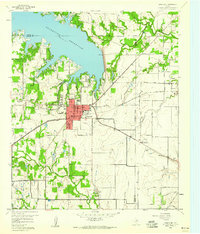
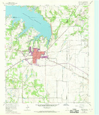
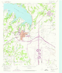
Editions of this 1959 Grapevine Map
5 editions found
Other maps of this area

1891 · Dallas
USGS Topo · 1:125,000

1893 · Dallas
USGS Topo · 1:125,000

1894 · Fort Worth
USGS Topo · 1:125,000

1925 · Mc Kinney 3-c
USGS Topo · 1:48,000

1925 · Dallas 2-b
USGS Topo · 1:48,000

1929 · Frisco
USGS Topo · 1:62,500

1931 · Carrollton
USGS Topo · 1:62,500

1931 · Grapevine
USGS Topo · 1:62,500

1954 · Dallas
USGS Topo · 1:250,000

1954 · Sherman
USGS Topo · 1:250,000