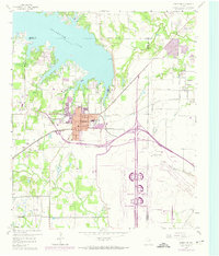
1959 Map of Grapevine
USGS Topo · Published 1974About this map
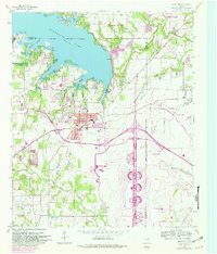
Grapevine and its surrounding communities sit at a critical geographic junction between Denton and Dallas counties during a period of transformative infrastructure development. The massive footprint of the Dallas Ft Worth Regional Airport dominates the southern half of the map, illustrating the scale of aviation's influence on the local landscape. North of the city, the waters of Grapevine Lake are fed by Denton Creek, while smaller tributaries like Bear Creek and Hackberry Creek wind through the remaining rural pockets.
Find a feature on this map
35 named features on this map. Tap any name to fly to it.
Don’t see what you’re looking for? This feature index may not catch every label — zoom into the map to look around manually.
Map Details
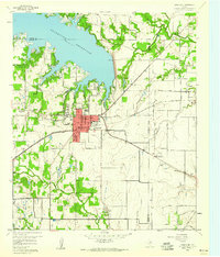
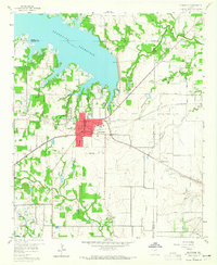
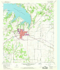
Editions of this 1959 Grapevine Map
5 editions found
Other maps of this area

1891 · Dallas
USGS Topo · 1:125,000

1893 · Dallas
USGS Topo · 1:125,000

1894 · Fort Worth
USGS Topo · 1:125,000

1925 · Mc Kinney 3-c
USGS Topo · 1:48,000

1925 · Dallas 2-b
USGS Topo · 1:48,000

1929 · Frisco
USGS Topo · 1:62,500

1931 · Carrollton
USGS Topo · 1:62,500

1931 · Grapevine
USGS Topo · 1:62,500

1954 · Dallas
USGS Topo · 1:250,000

1954 · Sherman
USGS Topo · 1:250,000