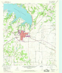
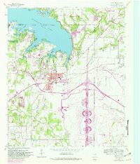
1959 Map of Grapevine
USGS Topo · Published 1969About this map
Grapevine Reservoir dominates the northern landscape of this survey, which captures the burgeoning Dallas-Fort Worth metroplex during a period of rapid suburban transformation. The 1968 photorevisions, shown in purple, illustrate the expansion of Grapevine and Southlake, contrasting with the more rural character of Colleyville to the south. The area is a nexus of transportation and infrastructure, defined by the St Louis Southwestern railroad line and a cluster of broadcast facilities including the Radio Stations (WFAA & WBAP).
Find a feature on this map
36 named features on this map. Tap any name to fly to it.
Don’t see what you’re looking for? This feature index may not catch every label — zoom into the map to look around manually.
Map Details
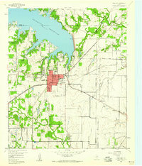
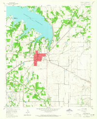
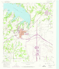
Editions of this 1959 Grapevine Map
5 editions found
Other maps of this area

1891 · Dallas
USGS Topo · 1:125,000

1893 · Dallas
USGS Topo · 1:125,000

1894 · Fort Worth
USGS Topo · 1:125,000

1925 · Mc Kinney 3-c
USGS Topo · 1:48,000

1925 · Dallas 2-b
USGS Topo · 1:48,000

1929 · Frisco
USGS Topo · 1:62,500

1931 · Carrollton
USGS Topo · 1:62,500

1931 · Grapevine
USGS Topo · 1:62,500

1954 · Dallas
USGS Topo · 1:250,000

1954 · Sherman
USGS Topo · 1:250,000