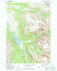
1968 Map of Green River Lakes
USGS Topo · Published 1993About this map
Green River carves through this high-altitude landscape in the Wind River Range, where the water collects in the prominent Green River Lakes before flowing north. The area is defined by its strictly protected wilderness, with the Continental Divide forming the eastern boundary of the Bridger Wilderness and Shoshone National Forest. The presence of the GP Bar Ranch and a nearby Campground at the edge of the lakes indicates the early development of recreational access and private holdings within the larger forest preserve.
Find a feature on this map
36 named features on this map. Tap any name to fly to it.
Don’t see what you’re looking for? This feature index may not catch every label — zoom into the map to look around manually.
Map Details
Editions of this 1968 Green River Lakes Map
4 editions found
Other maps of this area

1909 · Fremont Peak
USGS Topo · 1:125,000

1955 · Thermopolis
USGS Topo · 1:250,000

1958 · Thermopolis
USGS Topo · 1:250,000

1962 · Thermopolis
USGS Topo · 1:250,000
1967 · Fish Creek Park
USGS Topo · 1:24,000
1968 · Union Peak
USGS Topo · 1:24,000
1968 · Simpson Lake
USGS Topo · 1:24,000
1968 · Gannett Peak
USGS Topo · 1:24,000
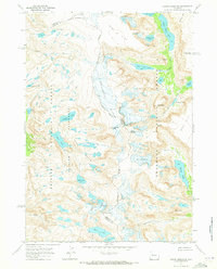
1968 · Downs Mountain
USGS Topo · 1:24,000
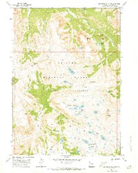
1968 · Squaretop Mountain
USGS Topo · 1:24,000