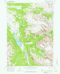
1968 Map of Green River Lakes
USGS Topo · Published 1976About this map
Green River Lakes anchor this high-altitude landscape in the Wind River Range, serving as a primary source for the Green River as it flows south from the Bridger Wilderness. The 1968 survey details the junction of the Bridger National Forest and Shoshone National Forest, defined by the Continental Divide Boundary along the eastern ridge. Notable for its geological landmarks, the map identifies the Clear Creek Natural Bridge and several cascades including Clear Creek Falls and Slide Creek Falls. Human activity is concentrated around the GP Bar Ranch and various established routes like the Highline Trail and Lakeside Trail. The drainage patterns from the Roaring Fork Basin and Osborn Mountain underscore the glacial geography of the Sublette County backcountry during this mid-century period.
Find a feature on this map
39 named features on this map. Tap any name to fly to it.
Don’t see what you’re looking for? This feature index may not catch every label — zoom into the map to look around manually.
Map Details
Editions of this 1968 Green River Lakes Map
4 editions found
Other maps of this area

1909 · Fremont Peak
USGS Topo · 1:125,000

1955 · Thermopolis
USGS Topo · 1:250,000

1958 · Thermopolis
USGS Topo · 1:250,000

1962 · Thermopolis
USGS Topo · 1:250,000
1967 · Fish Creek Park
USGS Topo · 1:24,000
1968 · Union Peak
USGS Topo · 1:24,000
1968 · Simpson Lake
USGS Topo · 1:24,000
1968 · Gannett Peak
USGS Topo · 1:24,000
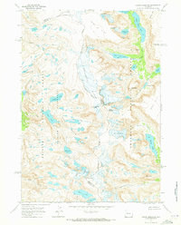
1968 · Downs Mountain
USGS Topo · 1:24,000
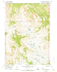
1968 · Squaretop Mountain
USGS Topo · 1:24,000