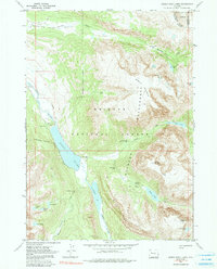
1968 Map of Green River Lakes
USGS Topo · Published 1991About this map
The upper reaches of the Green River dominate this 1968 survey of the Wind River Range, where the river widens into the prominent Green River Lakes. This landscape is defined by the intersection of the Bridger National Forest and the Shoshone National Forest, with the Continental Divide winding through the high peaks on the eastern edge of the sheet. Human presence is concentrated near the lower lake, marked by the GP Bar Ranch and a Campground, serving as gateways for the extensive trail system that includes the Highline Trail and Lakeside Trail. The map details a high-elevation environment of glacial features and natural landmarks, such as the Clear Creek Natural Bridge and numerous water bodies like Slide Lake and Native Lake. Significant elevation changes are recorded from the banks of Roaring Fork to the summit of Osborn Mountain.
Find a feature on this map
37 named features on this map. Tap any name to fly to it.
Don’t see what you’re looking for? This feature index may not catch every label — zoom into the map to look around manually.
Map Details
Editions of this 1968 Green River Lakes Map
4 editions found
Other maps of this area

1909 · Fremont Peak
USGS Topo · 1:125,000

1955 · Thermopolis
USGS Topo · 1:250,000

1958 · Thermopolis
USGS Topo · 1:250,000

1962 · Thermopolis
USGS Topo · 1:250,000
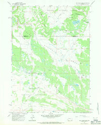
1967 · Fish Creek Park
USGS Topo · 1:24,000
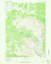
1968 · Union Peak
USGS Topo · 1:24,000
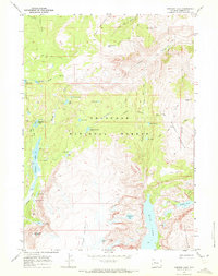
1968 · Simpson Lake
USGS Topo · 1:24,000
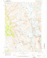
1968 · Gannett Peak
USGS Topo · 1:24,000
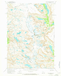
1968 · Downs Mountain
USGS Topo · 1:24,000
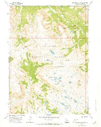
1968 · Squaretop Mountain
USGS Topo · 1:24,000