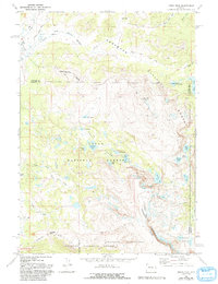
1968 Map of Union Peak
USGS Topo · Published 1983About this map
Continental Divide winds through this high-altitude landscape where Sublette and Fremont counties meet, defining a region of glacial lakes and steep alpine ridges. The map documents a convergence of three major protected areas: Shoshone National Forest, Teton National Forest, and the Bridger Wilderness. A notable point of geographical interest is Three Waters Mountain, reflecting the area's role as a primary western watershed. Human activity is evidenced by the Union Pass Cow Camp and the Union Pass Road, alongside remote trail systems like the Highline Trail and Jakeys Fork Trail. The terrain is punctuated by significant elevations such as Union Peak and Pinon Ridge, while numerous water bodies including Horseshoe Lake, Moon Lake, and Deep Lake fill the basins between these peaks.
Find a feature on this map
40 named features on this map. Tap any name to fly to it.
Don’t see what you’re looking for? This feature index may not catch every label — zoom into the map to look around manually.
Map Details
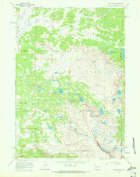
Editions of this 1968 Union Peak Map
2 editions found
Other maps of this area

1905 · Younts Peak
USGS Topo · 1:125,000

1907 · Younts Peak
USGS Topo · 1:125,000

1909 · Fremont Peak
USGS Topo · 1:125,000

1955 · Thermopolis
USGS Topo · 1:250,000

1956 · Dubois
USGS Topo · 1:24,000

1956 · Warm Spring Mountain
USGS Topo · 1:24,000

1956 · Fish Lake
USGS Topo · 1:24,000

1958 · Thermopolis
USGS Topo · 1:250,000

1962 · Thermopolis
USGS Topo · 1:250,000
1967 · Fish Creek Park
USGS Topo · 1:24,000