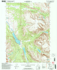
1991 Map of Green River Lakes
USGS Topo · Published 1997About this map
Bridger Wilderness encompasses the headwaters of the iconic Green River in this 1991 survey, where the waterway expands into the Green River Lakes. The landscape is defined by massive glacial features and deep alpine basins, including the Roaring Fork Basin and the prominent Osborn Mountain. A network of remote pathways like the Highline Trail and Lakeside Trail provides access to unique geological landmarks such as the Clear Creek Natural Bridge and several cascading water features, including Clear Creek Falls and Slide Creek Falls. This document captures the transition from the high peaks of Flat Top Mountain and Lost Eagle Peak down to the established Corral at the lake's edge, recording the precise boundaries where the Bridger National Forest meets the Shoshone National Forest at the Continental Divide.
Find a feature on this map
39 named features on this map. Tap any name to fly to it.
Don’t see what you’re looking for? This feature index may not catch every label — zoom into the map to look around manually.
Map Details
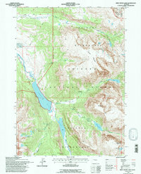
Editions of this 1991 Green River Lakes Map
2 editions found
Other maps of this area

1909 · Fremont Peak
USGS Topo · 1:125,000

1955 · Thermopolis
USGS Topo · 1:250,000

1958 · Thermopolis
USGS Topo · 1:250,000

1962 · Thermopolis
USGS Topo · 1:250,000
1967 · Fish Creek Park
USGS Topo · 1:24,000
1968 · Union Peak
USGS Topo · 1:24,000
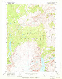
1968 · Simpson Lake
USGS Topo · 1:24,000
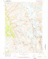
1968 · Gannett Peak
USGS Topo · 1:24,000
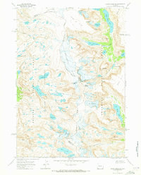
1968 · Downs Mountain
USGS Topo · 1:24,000
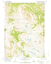
1968 · Squaretop Mountain
USGS Topo · 1:24,000