
1953 Map of Greenwood
USGS Topo · Published 1966About this map
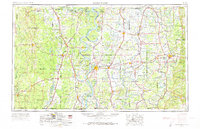
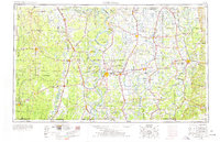
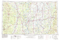
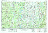
The Mississippi River defines the heart of this mid-century landscape, winding through the fertile Delta region where complex meanders like Tarpley Cut-off and Ashbrook Point reveal the shifting hydrology of the state border. This era marks a peak of industrial and agricultural transport, with the Illinois Central Railroad and Columbus and Greenville Railway crisscrossing the alluvial plains. Central hubs like Greenwood and Greenville serve as anchors for a network of smaller plantation and river towns, including Arkansas City and Rosedale. To the west, Lake Chicot and Lake Washington sit as prominent oxbow remnants of the river's former path. The map also identifies significant public and specialized land uses, from the Greenville Air Force Base to the State Penal Farm and the Yazoo National Wildlife Refuge, illustrating the diverse development of the Lower Mississippi Valley.
Find a feature on this map
216 named features on this map. Tap any name to fly to it.
Don’t see what you’re looking for? This feature index may not catch every label — zoom into the map to look around manually.
Map Details
Editions of this 1953 Greenwood Map
5 editions found
Other maps of this area

1909 · Wilsons Point
USGS Topo · 1:24,000

1909 · Millikin
USGS Topo · 1:24,000

1909 · Ashton Bridge
USGS Topo · 1:24,000

1912 · Ashton Bridge
USGS Topo · 1:31,680

1913 · Wilson Point
USGS Topo · 1:31,680

1930 · Mellwood
USGS Topo · 1:62,500

1931 · Schlater
USGS Topo · 1:48,000

1931 · Sumner
USGS Topo · 1:48,000

1931 · Drew
USGS Topo · 1:48,000

1932 · Philipp
USGS Topo · 1:48,000