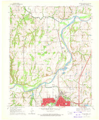
1970 Map of Guthrie North
USGS Topo · Published 1972About this map
The Cimarron River carves a sweeping arc through the heart of this Logan County landscape, joined from the west by Skeleton Creek and Cottonwood Creek. To the south, the northern portion of Guthrie is highly detailed, showing civic landmarks like the Masonic Temple, Courthouse, and Library, alongside neighborhood institutions such as Cotteral Sch and St Marys. This urban footprint contrasts with the surrounding agricultural and industrial areas, where numerous sandpits dot the riverbanks and an Oil Well appears near the western boundary.
Find a feature on this map
40 named features on this map. Tap any name to fly to it.
Don’t see what you’re looking for? This feature index may not catch every label — zoom into the map to look around manually.
Map Details
Editions of this 1970 Guthrie North Map
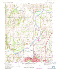
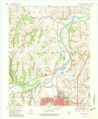
3 editions found
Other maps of this area

1892 · Guthrie
USGS Topo · 1:62,500

1892 · Kingfisher
USGS Topo · 1:125,000

1893 · Mulhall
USGS Topo · 1:62,500

1893 · Lovell
USGS Topo · 1:62,500

1895 · Kingfisher
USGS Topo · 1:125,000

1954 · Oklahoma City
USGS Topo · 1:250,000

1955 · Enid
USGS Topo · 1:250,000

1957 · Oklahoma City
USGS Topo · 1:250,000

1958 · Enid
USGS Topo · 1:250,000

1963 · Oklahoma City
USGS Topo · 1:250,000