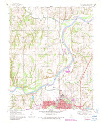
1970 Map of Guthrie North
USGS Topo · Published 1983About this map
Guthrie sits at the southern edge of this landscape, its urban grid and infrastructure organized near the confluence of the Cimarron River and Cottonwood Creek. The 1970 survey, with photorevised updates from 1983, shows a dense cluster of civic buildings including the Courthouse, Library, and Masonic Temple, while the local economy is reflected in the surrounding Oil Well sites and Sandpit operations along the river. North of the city, the small settlement of Lawrie and the recreational grounds of Camp Joy and Camp Russell dot the terrain leading toward Skeleton Creek.
Find a feature on this map
46 named features on this map. Tap any name to fly to it.
Don’t see what you’re looking for? This feature index may not catch every label — zoom into the map to look around manually.
Map Details
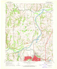
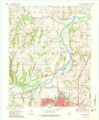
Editions of this 1970 Guthrie North Map
3 editions found
Other maps of this area

1892 · Guthrie
USGS Topo · 1:62,500

1892 · Kingfisher
USGS Topo · 1:125,000

1893 · Mulhall
USGS Topo · 1:62,500

1893 · Lovell
USGS Topo · 1:62,500

1895 · Kingfisher
USGS Topo · 1:125,000

1954 · Oklahoma City
USGS Topo · 1:250,000

1955 · Enid
USGS Topo · 1:250,000

1957 · Oklahoma City
USGS Topo · 1:250,000

1958 · Enid
USGS Topo · 1:250,000

1963 · Oklahoma City
USGS Topo · 1:250,000