
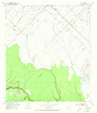
1953 Map of Guy
USGS Topo · Published 1954About this map
The Southern Pacific and Gulf Colorado and Santa Fe railroads define the industrial movement across this portion of the Texas coastal plain during the early 1950s. Centered on the community of Guy, the landscape is a patchwork of agricultural infrastructure and energy extraction, specifically marked by the Needville Field and the prominent Damon Mound to the southeast. The survey captures a moment when local rural education was anchored by the Needville High Sch and the Routt Sch, while social life centered on the New Prospect Ch. Drainage patterns are dictated by the meandering Buffalo Creek and Mound Creek, which eventually feed into the San Bernard River at the county line. Of particular interest to transportation historians is the transition of infrastructure seen in the Old Railroad Grade and the Memorial Highway.
Find a feature on this map
24 named features on this map. Tap any name to fly to it.
Don’t see what you’re looking for? This feature index may not catch every label — zoom into the map to look around manually.
Map Details
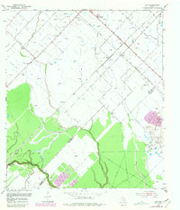
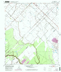
Editions of this 1953 Guy Map
4 editions found
Other maps of this area

1950 · Houston
USGS Topo · 1:250,000

1952 · West Columbia
USGS Topo · 1:24,000

1952 · Danciger
USGS Topo · 1:24,000

1952 · Pledger
USGS Topo · 1:24,000

1953 · Needville
USGS Topo · 1:24,000

1953 · Lake George
USGS Topo · 1:24,000

1953 · Kendleton
USGS Topo · 1:24,000

1953 · Damon
USGS Topo · 1:24,000

1953 · Boling
USGS Topo · 1:24,000

1956 · Houston
USGS Topo · 1:250,000