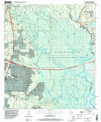
1998 Map of Haaswood
USGS Topo · Published 2000This historical map portrays the area of Haaswood in 1998, primarily covering St. Tammany Parish as well as portions of Mississippi. Featuring a scale of 1:24000, this map provides a highly detailed snapshot of the terrain, roads, buildings, counties, and historical landmarks in the Haaswood region at the time. Published in 2000, it is the sole known edition of this map.
Map Details
Editions of this 1998 Haaswood Map
This is the sole edition of this map. No revisions or reprints were ever made.
Historical Maps of St. Tammany Parish Through Time
34 maps found
1935 English Lookout
St. Tammany Parish, LA
1936 North Shore
St. Tammany Parish, LA
1941 Honey Island
St. Tammany Parish, LA
1942 Onville
St. Tammany Parish, LA
1942 Pools Bluff
St. Tammany Parish, LA
1942 Talisheek
St. Tammany Parish, LA
1942 Waldheim
St. Tammany Parish, LA
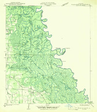
1942 Walkiah Bluff
St. Tammany Parish, LA
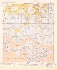
1946 Rigolets
St. Tammany Parish, LA
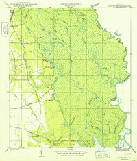
1950 Haaswood
St. Tammany Parish, LA
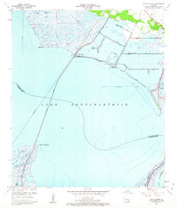
1951 North Shore
St. Tammany Parish, LA
1954 English Lookout
St. Tammany Parish, LA
1954 Haaswood
St. Tammany Parish, LA
1954 Rigolets
St. Tammany Parish, LA
1956 English Lookout
St. Tammany Parish, LA
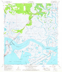
1956 Rigolets
St. Tammany Parish, LA
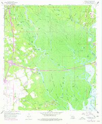
1959 Haaswood
St. Tammany Parish, LA
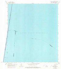
1965 Spanish Fort NE
St. Tammany Parish, LA
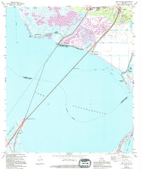
1967 North Shore
St. Tammany Parish, LA
1968 Covington SW
St. Tammany Parish, LA
1968 English Lookout
St. Tammany Parish, LA
1968 Rigolets
St. Tammany Parish, LA
1970 St. Tammany
St. Tammany Parish, LA
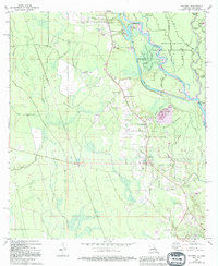
1971 Hickory
St. Tammany Parish, LA
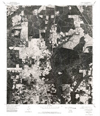
1976 Folsom NW
St. Tammany Parish, LA
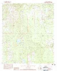
1983 Bush
St. Tammany Parish, LA
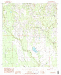
1983 Martinville
St. Tammany Parish, LA
1983 Waldheim
St. Tammany Parish, LA
1993 English Lookout
St. Tammany Parish, LA
1993 Haaswood
St. Tammany Parish, LA
1993 Rigolets
St. Tammany Parish, LA

1998 Haaswood
St. Tammany Parish, LA
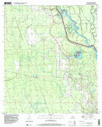
1998 Hickory
St. Tammany Parish, LA
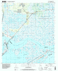
1998 Rigolets
St. Tammany Parish, LA