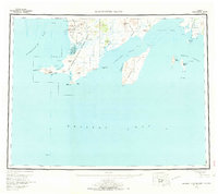
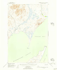
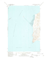
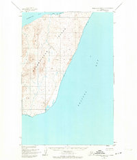
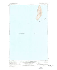
1957 Map of Hagemeister Island
USGS Topo · Published 1970About this map
The Cape Newenham National Wildlife Refuge anchors this coastal survey, where the terrestrial wilderness meets the cold waters of Kuskokwim Bay and Bristol Bay. Inland, the Goodnews Mining Camp stands as a focal point of human activity near the Salmon River, supported by various landing areas along the shoreline. The coastline is defined by dramatic geography, from the heights of Chagvan Mtn and Slug Mtn to the protected waters of Nanvak Bay and Security Cove.
Find a feature on this map
73 named features on this map. Tap any name to fly to it.
Don’t see what you’re looking for? This feature index may not catch every label — zoom into the map to look around manually.
Map Details
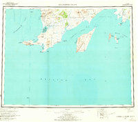
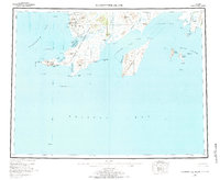
Editions of this 1957 Hagemeister Island Map
3 editions found
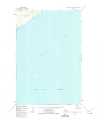
Other maps of this area

1945 · Nushagak Bay
USGS Topo · 1:250,000

1947 · Hagemeister Island C-7
USGS Topo · 1:63,360
1947 · Hagemeister Island D-2
USGS Topo · 1:63,360
1948 · Hagemeister Island D-3
USGS Topo · 1:63,360

1948 · Hagemeister Island C-6
USGS Topo · 1:63,360
1948 · Hagemeister Island C-4
USGS Topo · 1:63,360
1948 · Hagemeister Island C-3
USGS Topo · 1:63,360
1948 · Hagemeister Island C-2
USGS Topo · 1:63,360

1948 · Hagemeister Island C-1
USGS Topo · 1:63,360

1948 · Hagemeister Island C-5
USGS Topo · 1:63,360