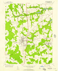
1955 Map of Harrington
USGS Topo · Published 1957About this map
The railroad town of Harrington serves as the industrial and social anchor of this 1950s agricultural landscape, where the Pennsylvania line intersects a network of rural districts and country crossroads. The presence of the Fairgrounds and a prominent Substation near the town center reflects its role as a regional hub for the surrounding farm country. To the east, the village of Houston and smaller settlements like Marvels Crossroads and Williamsville are connected by well-established local roads and drainage networks including Browns Branch and the Murderkill River.
Find a feature on this map
40 named features on this map. Tap any name to fly to it.
Don’t see what you’re looking for? This feature index may not catch every label — zoom into the map to look around manually.
Map Details
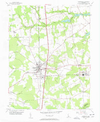
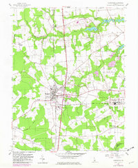
Editions of this 1955 Harrington Map
3 editions found
Other maps of this area

1899 · Vineland
USGS Topo · 1:125,000

1899 · Dover
USGS Topo · 1:125,000

1906 · Dover
USGS Topo · 1:125,000

1918 · Cedar Creek
USGS Topo · 1:62,500

1918 · Harrington
USGS Topo · 1:62,500

1919 · Cedar Creek
USGS Topo · 1:62,500

1919 · Vineland
USGS Topo · 1:125,000

1920 · Dover
USGS Topo · 1:125,000

1926 · Wyoming
USGS Topo · 1:48,000

1930 · Wyoming
USGS Topo · 1:62,500