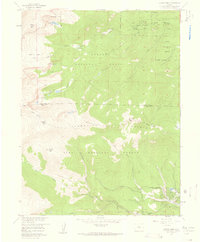
1957 Map of Harris Park
USGS Topo · Published 1959About this map
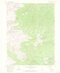
Harris Park and the nearby Highland Park settlement area sit at the heart of this high-elevation mountain terrain where the boundaries of the Arapaho National Forest and Pike National Forest meet. The 1957 survey documents a landscape defined by seasonal camps and conservation management, including the Colorado Game and Fish Reserve and the Bear Creek Guard Station. Significant landmarks like Rosalie Peak, Rogers Peak, and the distinctively named Pegmatite Points emphasize the area's geological character.
Find a feature on this map
35 named features on this map. Tap any name to fly to it.
Don’t see what you’re looking for? This feature index may not catch every label — zoom into the map to look around manually.
Map Details
Editions of this 1957 Harris Park Map
8 editions found
Other maps of this area

1893 · Platte Canyon
USGS Topo · 1:125,000

1899 · West Denver
USGS Topo · 1:125,000

1903 · Georgetown
USGS Topo · 1:62,500

1905 · Georgetown
USGS Topo · 1:62,500

1945 · Bailey
USGS Topo · 1:24,000

1945 · Shawnee
USGS Topo · 1:24,000

1945 · Mount Logan
USGS Topo · 1:24,000

1948 · Mount Logan
USGS Topo · 1:24,000

1948 · Shawnee
USGS Topo · 1:24,000

1949 · Bailey
USGS Topo · 1:24,000