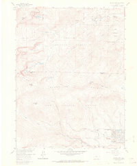
1957 Map of Harris Park
USGS Topo · Published 1972About this map
Arapaho National Forest and Pike National Forest meet in this 1957 study of the high-altitude terrain along the boundary of Clear Creek and Park counties. The landscape is defined by the steep transition from timberline landmarks like Rogers Peak and Rosalie Peak down into the narrow valleys where mid-century settlements began to take root. In the lower elevations, the development of Harris Park and Highland Park illustrates the mid-century expansion of mountain residential areas, while the Royal Ranch and various forest service sites like the Bear Creek Guard Station show the balance of private ownership and federal management. Hydrological features such as Beartrack Lakes and Lincoln Lake feed the intricate drainage system of Bear Creek and Elk Creek, shaping the placement of early recreation spots like the Camp Rock Campground and Deer Creek Campground.
Find a feature on this map
35 named features on this map. Tap any name to fly to it.
Don’t see what you’re looking for? This feature index may not catch every label — zoom into the map to look around manually.
Map Details
Editions of this 1957 Harris Park Map
8 editions found
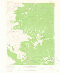
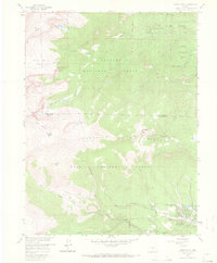
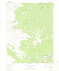
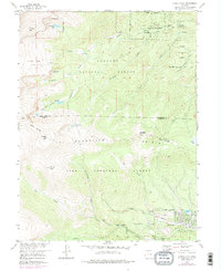
Other maps of this area

1893 · Platte Canyon
USGS Topo · 1:125,000

1899 · West Denver
USGS Topo · 1:125,000

1903 · Georgetown
USGS Topo · 1:62,500

1905 · Georgetown
USGS Topo · 1:62,500

1945 · Bailey
USGS Topo · 1:24,000

1945 · Shawnee
USGS Topo · 1:24,000

1945 · Mount Logan
USGS Topo · 1:24,000

1948 · Mount Logan
USGS Topo · 1:24,000

1948 · Shawnee
USGS Topo · 1:24,000

1949 · Bailey
USGS Topo · 1:24,000