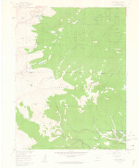
1957 Map of Harris Park
USGS Topo · Published 1963About this map
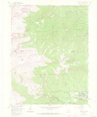
Harris Park and the surrounding high-altitude terrain of the Front Range are documented here during the late 1950s, showing a landscape defined by forestry management and early alpine recreation. The transition from the Arapaho National Forest in the north to the Pike National Forest in the south is marked by the Clear Creek Co Park Co line, which divides the steep drainages of Bear Creek and Elk Creek. This era of the mountains features established camps such as Camp Rock Campground and Beartrack Lakes Campground, reflecting the post-war expansion of mountain access.
Find a feature on this map
41 named features on this map. Tap any name to fly to it.
Don’t see what you’re looking for? This feature index may not catch every label — zoom into the map to look around manually.
Map Details
Editions of this 1957 Harris Park Map
8 editions found
Other maps of this area

1893 · Platte Canyon
USGS Topo · 1:125,000

1899 · West Denver
USGS Topo · 1:125,000

1903 · Georgetown
USGS Topo · 1:62,500

1905 · Georgetown
USGS Topo · 1:62,500

1945 · Bailey
USGS Topo · 1:24,000

1945 · Shawnee
USGS Topo · 1:24,000

1945 · Mount Logan
USGS Topo · 1:24,000

1948 · Mount Logan
USGS Topo · 1:24,000

1948 · Shawnee
USGS Topo · 1:24,000

1949 · Bailey
USGS Topo · 1:24,000