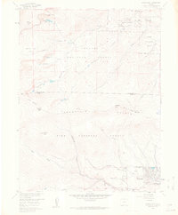
1957 Map of Harris Park
USGS Topo · Published 1963About this map
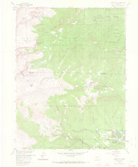
Harris Park and Highland Park anchor the lower elevations of this high-altitude landscape, where the Arapaho National Forest and Pike National Forest converge. The topography is defined by significant summits like Rosalie Peak and Rogers Peak, which transition into the level terrain of Summit Flats. A complex network of drainages, including Deer Creek and Tanglewood Creek, feeds into larger water bodies such as Beartrack Lakes and Lincoln Lake.
Find a feature on this map
33 named features on this map. Tap any name to fly to it.
Don’t see what you’re looking for? This feature index may not catch every label — zoom into the map to look around manually.
Map Details
Editions of this 1957 Harris Park Map
8 editions found
Other maps of this area

1893 · Platte Canyon
USGS Topo · 1:125,000

1899 · West Denver
USGS Topo · 1:125,000

1903 · Georgetown
USGS Topo · 1:62,500

1905 · Georgetown
USGS Topo · 1:62,500

1945 · Bailey
USGS Topo · 1:24,000

1945 · Shawnee
USGS Topo · 1:24,000

1945 · Mount Logan
USGS Topo · 1:24,000

1948 · Mount Logan
USGS Topo · 1:24,000

1948 · Shawnee
USGS Topo · 1:24,000

1949 · Bailey
USGS Topo · 1:24,000