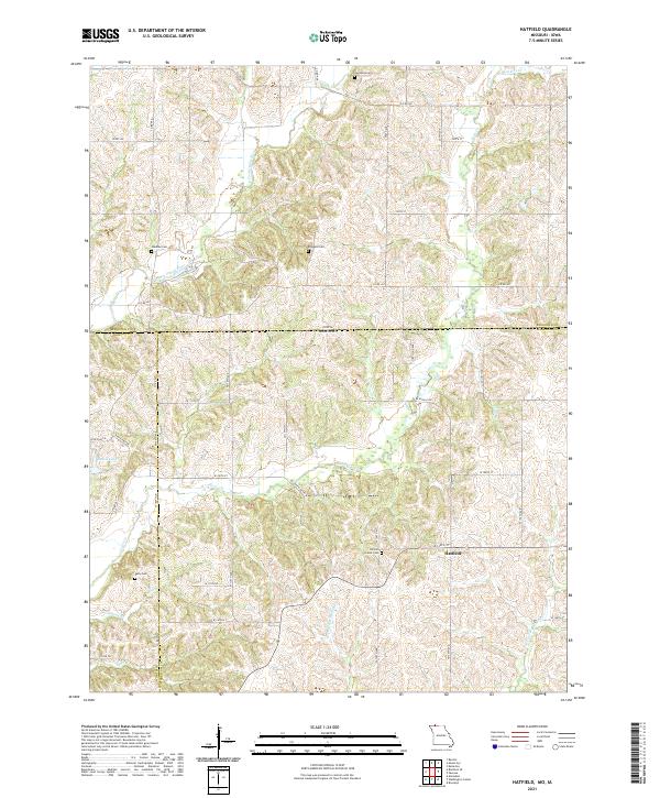
2021 Map of Hatfield
USGS Topo · Published 2021About this map
Hatfield serves as the focal point of this agricultural landscape spanning the state line between Missouri and Iowa. The terrain is defined by a dense network of branching creeks and rivers, including the E Fork Grand River and Lotts Cr, which carve through the undulating hills of Harrison and Ringgold counties. This survey provides a precise view of rural infrastructure, showing a grid of section lines and country roads like W Apollo Rd and State Hwy HH that connect isolated farmsteads and historical burial grounds.
Find a feature on this map
39 named features on this map. Tap any name to fly to it.
Don’t see what you’re looking for? This feature index may not catch every label — zoom into the map to look around manually.
Map Details
Editions of this 2021 Hatfield Map
This is the sole edition of this map. No revisions or reprints were ever made.
Historical Maps of Iowa Through Time
20 maps found
1981 Akron
Harrison County, MO
1981 Hatfield
Harrison County, MO
1981 Pawnee
Harrison County, MO
1984 Brooklyn
Harrison County, MO
1984 Gardner
Harrison County, MO
1984 Gilman City East
Harrison County, MO
1984 Gilman City West
Harrison County, MO
1984 Matkins
Harrison County, MO
1984 Mitchellville
Harrison County, MO
1984 Washington Center
Harrison County, MO
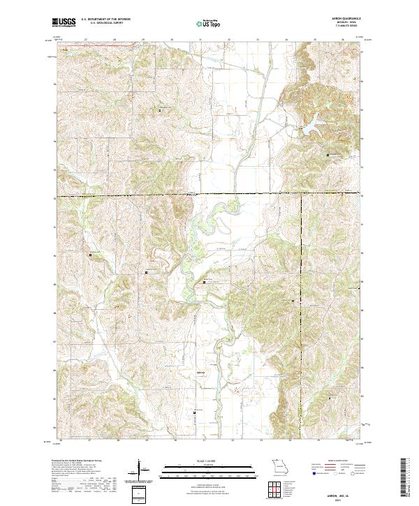
2021 Akron
Harrison County, MO
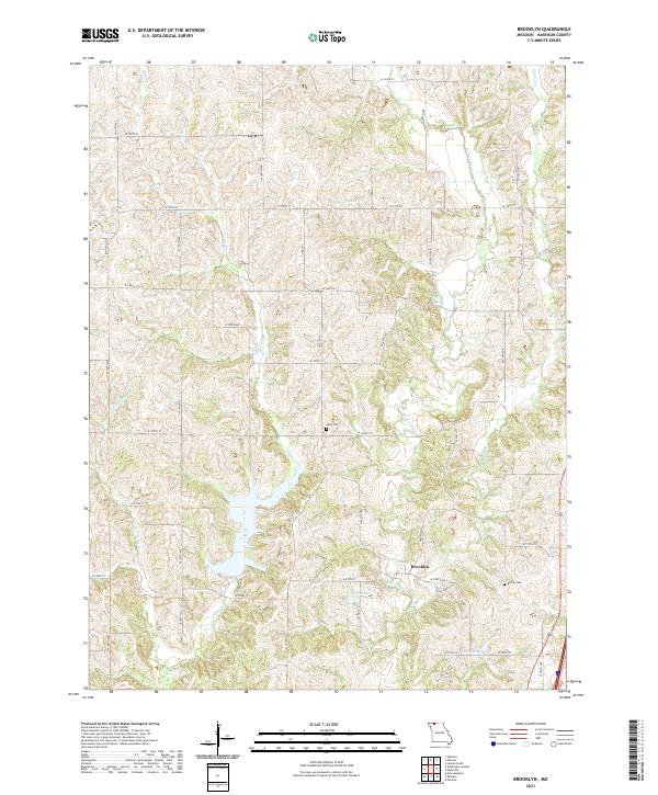
2021 Brooklyn
Harrison County, MO
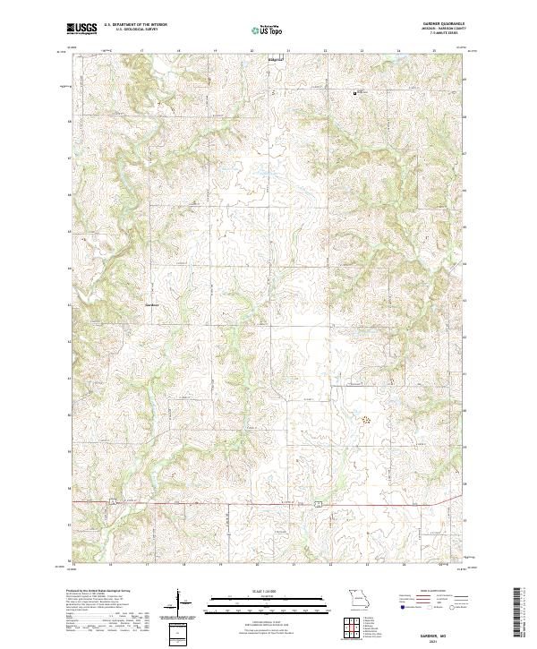
2021 Gardner
Harrison County, MO
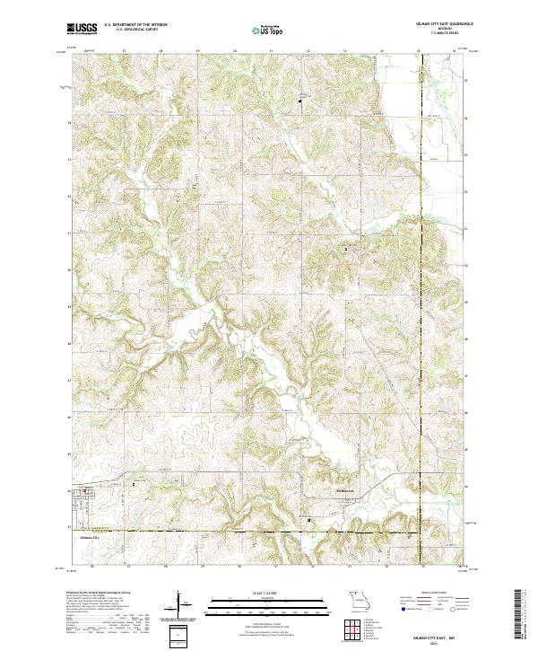
2021 Gilman City East
Harrison County, MO
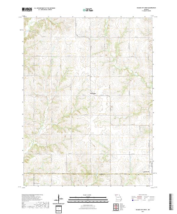
2021 Gilman City West
Harrison County, MO
2021 Hatfield
Harrison County, MO
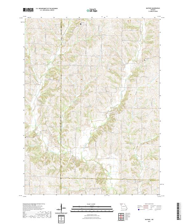
2021 Matkins
Harrison County, MO
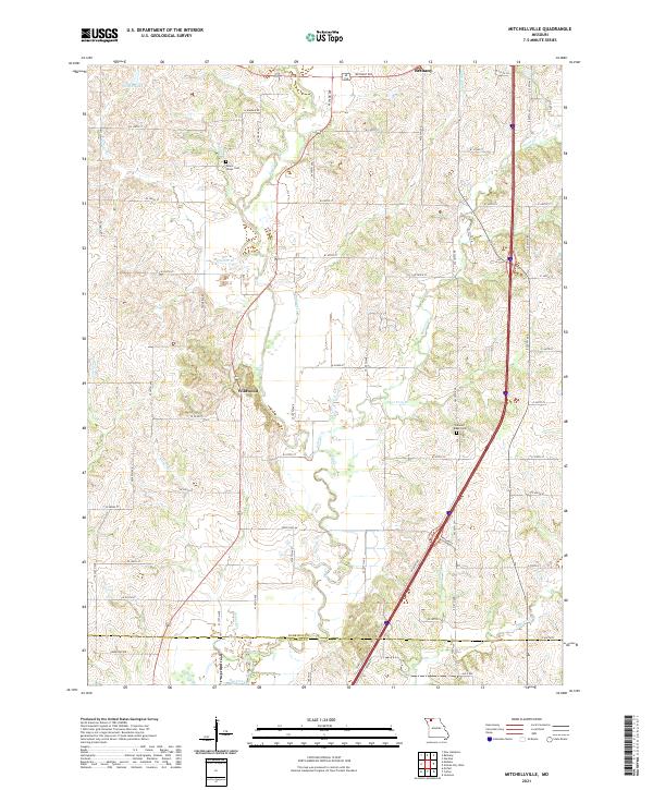
2021 Mitchellville
Harrison County, MO
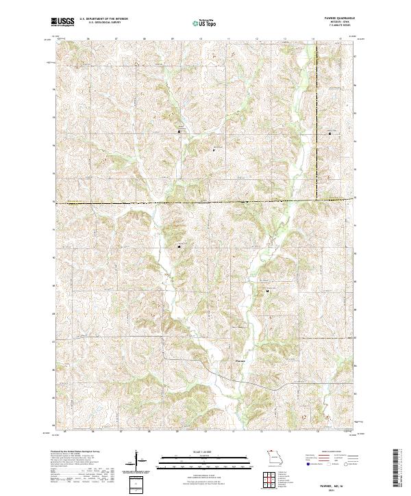
2021 Pawnee
Harrison County, MO
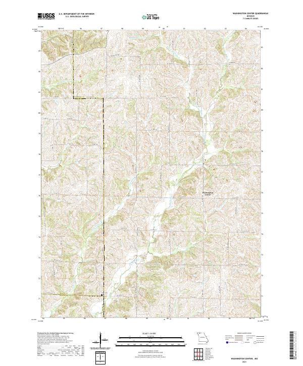
2021 Washington Center
Harrison County, MO