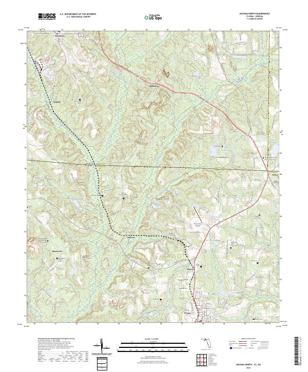
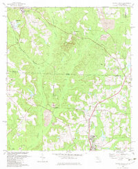
2024 Map of Havana North
USGS Topo · Published 2024About this map
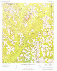
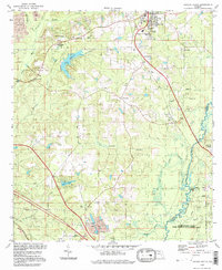
The Georgia-Florida state line bisects this landscape, marking a transition between Decatur County and Gadsden County. The area is defined by a series of small agricultural and rural settlements including Attapulgus, Amsterdam, and Jamieson, connected by historic transit corridors like Tobacco Rd and Amsterdam Rd. The terrain is characterized by a dense network of watercourses, such as Attapulgus Creek and Swamp Creek, which drain the low-lying wetlands and ponds like Lake Dubarco.
Find a feature on this map
119 named features on this map. Tap any name to fly to it.
Don’t see what you’re looking for? This feature index may not catch every label — zoom into the map to look around manually.
Map Details
Editions of this 2024 Havana North Map
This is the sole edition of this map. No revisions or reprints were ever made.
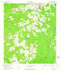
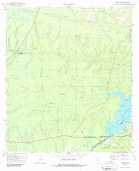
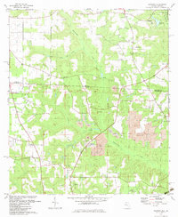
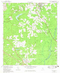
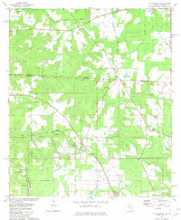
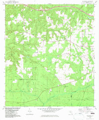
Historical Maps of Amsterdam Through Time
20 maps found
1955 Mt Pleasant
Gadsden County, FL
1955 Sycamore
Gadsden County, FL
1956 Dogtown
Gadsden County, FL
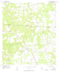
1956 Havana North
Gadsden County, FL
1963 Havana South
Gadsden County, FL
1972 Bloxham
Gadsden County, FL
1982 Dogtown
Gadsden County, FL
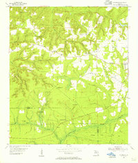
1982 Havana North
Gadsden County, FL
1982 Havana South
Gadsden County, FL
1982 Mt Pleasant
Gadsden County, FL
1982 Sycamore
Gadsden County, FL
1994 Havana South
Gadsden County, FL
1994 Mt Pleasant
Gadsden County, FL
1994 Sycamore
Gadsden County, FL
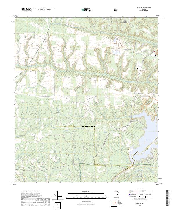
2024 Bloxham
Gadsden County, FL
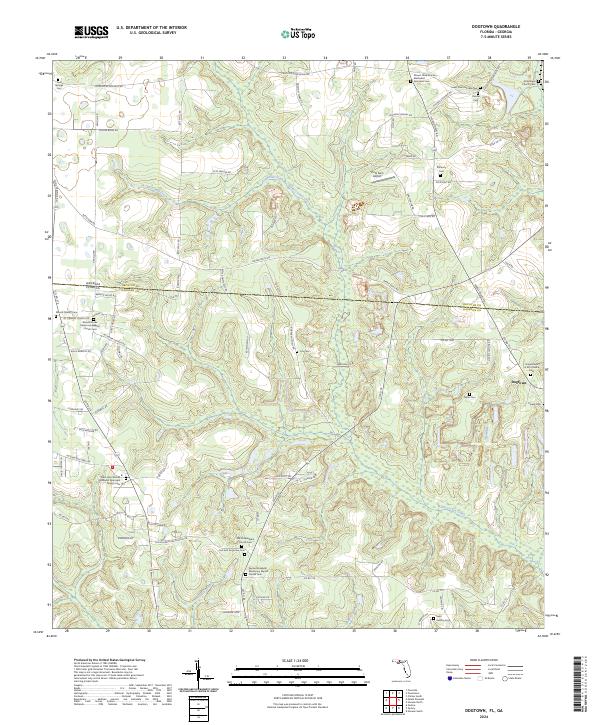
2024 Dogtown
Gadsden County, FL
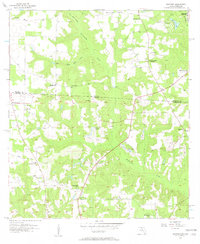
2024 Havana North
Gadsden County, FL
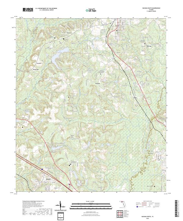
2024 Havana South
Gadsden County, FL
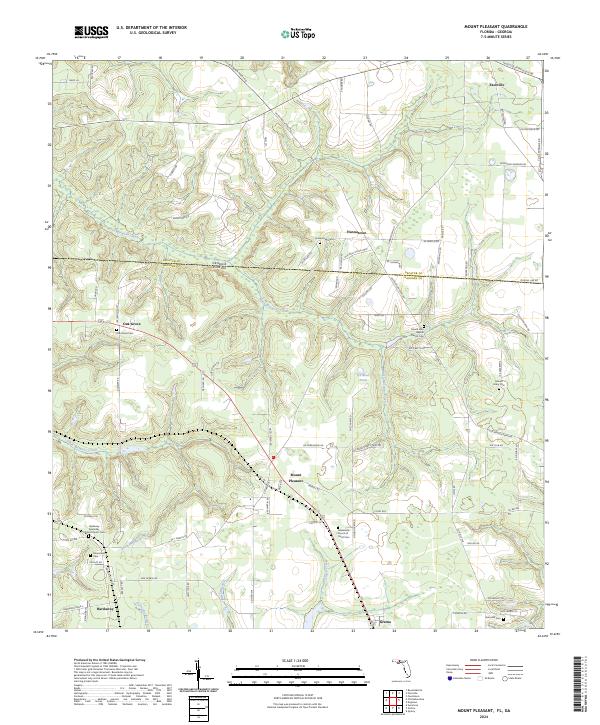
2024 Mount Pleasant
Gadsden County, FL
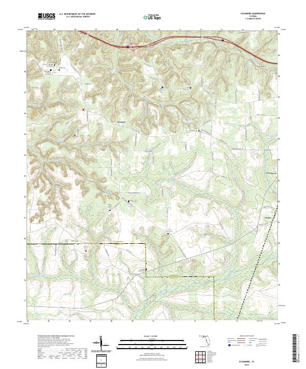
2024 Sycamore
Gadsden County, FL