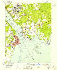
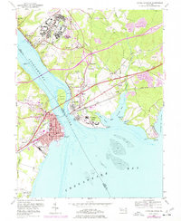
1953 Map of Havre De Grace
USGS Topo · Published 1955About this map
Bainbridge Naval Training Center dominates the northern bluffs overlooking the Susquehanna River, its sprawling complex complete with a golf course and amphitheater just years after its peak wartime activity. Directly across the water, the street grid of Havre De Grace centers around Memorial Hospital and the historic Condord Pt Lighthouse, serving as a critical junction for the Pennsylvania RR and the Baltimore and Ohio RR. The surrounding Cecil County countryside is dotted with small settlements like Principio Furnace and Blythedale, while the expansive U S Veterans Hospital occupies the peninsula at Perry Point. This survey captures a landscape of intense military and institutional development alongside older river towns, where navigation of the Chesapeake Bay met the heavy industrial corridors of the General Pulaski Highway.
Find a feature on this map
65 named features on this map. Tap any name to fly to it.
Don’t see what you’re looking for? This feature index may not catch every label — zoom into the map to look around manually.
Map Details
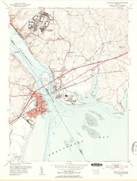
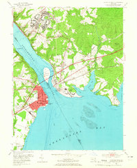
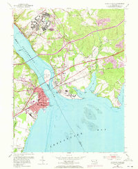
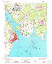
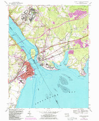
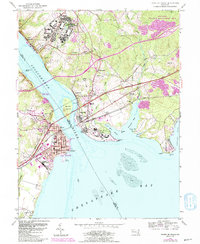
Editions of this 1953 Havre De Grace Map
8 editions found
Other maps of this area

1898 · Elkton
USGS Topo · 1:62,500

1898 · Tolchester
USGS Topo · 1:125,000

1899 · Dover
USGS Topo · 1:125,000

1900 · Elkton
USGS Topo · 1:62,500

1900 · Cecilton
USGS Topo · 1:62,500

1900 · Havre De Grace
USGS Topo · 1:62,500

1900 · Betterton
USGS Topo · 1:62,500

1903 · Tolchester
USGS Topo · 1:125,000

1906 · Dover
USGS Topo · 1:125,000

1908 · Tolchester
USGS Topo · 1:125,000