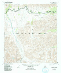
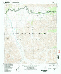
1953 Map of Healy C-5
USGS Topo · Published 1992About this map
Denali National Park and Preserve is revealed here through topography mapped during the mid-20th century, specifically showing the interior wilderness as it existed before contemporary infrastructure expansions. The area is defined by sharp peaks like Fang Mtn and Double Mtn, with drainage networks formed by the Savage River and Sanctuary River cutting through the northern reaches. The Denali Park Road serves as the primary artery through this landscape, connecting isolated points of human presence such as the Savage River Campground and the Cabin Sanctuary River Campground. This map represents the transition of this territory from purely surveyed wildland to managed conservation, following the boundaries of the Denali Wilderness. Significant terrain features like Primrose Ridge and the Refuge Valley demonstrate the complex glacial and fluvial carving characteristic of the Alaska Range.
Find a feature on this map
19 named features on this map. Tap any name to fly to it.
Don’t see what you’re looking for? This feature index may not catch every label — zoom into the map to look around manually.
Map Details
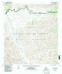
Editions of this 1953 Healy C-5 Map
6 editions found

Other maps of this area

1949 · Healy B-4
USGS Topo · 1:63,360

1950 · Healy D-4
USGS Topo · 1:63,360

1950 · Healy C-4
USGS Topo · 1:63,360

1950 · Healy B-5
USGS Topo · 1:63,360

1951 · Healy
USGS Topo · 1:250,000

1951 · Healy B-5
USGS Topo · 1:63,360

1951 · Healy B-4
USGS Topo · 1:63,360

1951 · Healy D-6
USGS Topo · 1:63,360

1951 · Healy D-5
USGS Topo · 1:63,360

1952 · Healy D-5
USGS Topo · 1:63,360