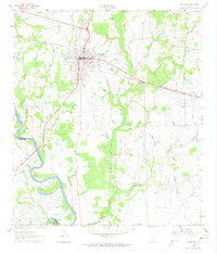
1961 Map of Hempstead
USGS Topo · Published 1974About this map
The Southern Pacific rail line bisects this 1961 landscape, anchoring the city of Hempstead as it serves as a central hub for the surrounding Waller and Austin County agricultural lands. The city's grid is well-defined, showing the County Fairground and essential local infrastructure like the Sewage Disposal plant. To the south and west, the terrain transitions into the fertile bottomlands of the Brazos River, where the Oil Field at Raccoon Bend indicates the region's mid-century petroleum industry. Numerous watercourses, including Clear Creek and Threemile Creek, carve through the terrain, while landmarks like Greater Wyatt Chapel and the Pine Island Ch point to established rural communities. This survey also records the small settlement of Lewisville and an Abandoned Branch Road northwest of town, reflecting shifting transportation patterns during Texas's postwar expansion.
Find a feature on this map
27 named features on this map. Tap any name to fly to it.
Don’t see what you’re looking for? This feature index may not catch every label — zoom into the map to look around manually.
Map Details
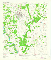
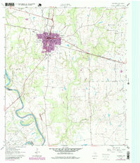
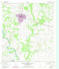
Editions of this 1961 Hempstead Map
4 editions found
Other maps of this area

1920 · Waller
USGS Topo · 1:31,680

1950 · Houston
USGS Topo · 1:250,000

1953 · Seguin
USGS Topo · 1:250,000

1954 · Beaumont
USGS Topo · 1:250,000

1954 · Austin
USGS Topo · 1:250,000

1955 · Brookshire
USGS Topo · 1:62,500

1956 · Sealy
USGS Topo · 1:62,500

1956 · Hempstead
USGS Topo · 1:62,500

1956 · Houston
USGS Topo · 1:250,000

1957 · Beaumont
USGS Topo · 1:250,000