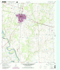
1961 Map of Hempstead
USGS Topo · Published 1980About this map
The Brazos River forms a sweeping oxbow at the Raccoon Bend Oil Field, where numerous Oil Wells dot the landscape. This 1961 Texas Water Commission and U.S. Geological Survey collaboration highlights the convergence of agriculture and the energy industry. The town of Hempstead serves as the focal point, situated at the junction of the Southern Pacific rail lines.
Find a feature on this map
23 named features on this map. Tap any name to fly to it.
Don’t see what you’re looking for? This feature index may not catch every label — zoom into the map to look around manually.
Map Details
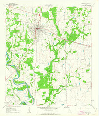
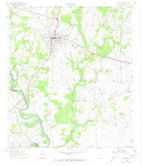
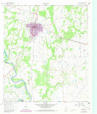
Editions of this 1961 Hempstead Map
4 editions found
Other maps of this area

1920 · Waller
USGS Topo · 1:31,680

1950 · Houston
USGS Topo · 1:250,000

1953 · Seguin
USGS Topo · 1:250,000

1954 · Beaumont
USGS Topo · 1:250,000

1954 · Austin
USGS Topo · 1:250,000

1955 · Brookshire
USGS Topo · 1:62,500

1956 · Sealy
USGS Topo · 1:62,500

1956 · Hempstead
USGS Topo · 1:62,500

1956 · Houston
USGS Topo · 1:250,000

1957 · Beaumont
USGS Topo · 1:250,000