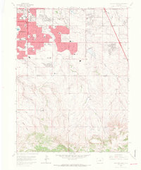
1965 Map of Highlands Ranch
USGS Topo · Published 1967About this map
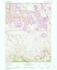
The northern edge of Highlands Ranch appears here in a transitional mid-1960s state, where expanding suburban development meets established agricultural holdings. While the northern portion of the map shows the densifying neighborhoods of Littleton and Greenwood Village, the southern half is dominated by large pastoral tracts such as McArthur Ranch and Cheesman Ranch. This period of growth is anchored by new community infrastructure, including the Southglenn Shopping Ctr and a high density of educational facilities like Arapahoe High Sch and Southglenn Jr High Sch.
Find a feature on this map
55 named features on this map. Tap any name to fly to it.
Don’t see what you’re looking for? This feature index may not catch every label — zoom into the map to look around manually.
Map Details
Editions of this 1965 Highlands Ranch Map
8 editions found
Other maps of this area

1890 · East Denver
USGS Topo · 1:125,000

1893 · Platte Canyon
USGS Topo · 1:125,000

1894 · Castle Rock
USGS Topo · 1:125,000

1899 · West Denver
USGS Topo · 1:125,000

1913 · Castle Rock
USGS Topo · 1:125,000

1935 · East Denver Nos. 3 and 4
USGS Topo · 1:48,000

1940 · Englewood
USGS Topo · 1:31,680

1940 · Castle Rock
USGS Topo · 1:62,500

1941 · Fitzsimons
USGS Topo · 1:31,680

1941 · Fort Logan
USGS Topo · 1:31,680