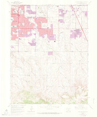
1965 Map of Highlands Ranch
USGS Topo · Published 1973About this map
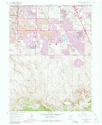
Highlands Ranch and McArthur Ranch dominate the southern landscape of this mid-1960s survey, showing the transition from expansive ranchlands to suburban development. The northern portion reflects the rapid postwar growth of Littleton and Greenwood Village, with new residential tracts and schools like Arapahoe High Sch and Isaac Newton Jr High Sch appearing alongside established landmarks like Chapel Hill Memorial Gardens (Cemetery). Significant infrastructure projects are evident, including the Englewood Dam and the emerging Denver Technological Center near the Atchison Topeka and Santa Fe RR. Water management features such as the Aqueduct and various gulches like Lee Gulch and Dad Clark Gulch define the drainage patterns of the Arapahoe and Douglas county line.
Find a feature on this map
68 named features on this map. Tap any name to fly to it.
Don’t see what you’re looking for? This feature index may not catch every label — zoom into the map to look around manually.
Map Details
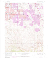
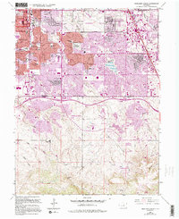
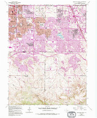
Editions of this 1965 Highlands Ranch Map
8 editions found
Other maps of this area

1890 · East Denver
USGS Topo · 1:125,000

1893 · Platte Canyon
USGS Topo · 1:125,000

1894 · Castle Rock
USGS Topo · 1:125,000

1899 · West Denver
USGS Topo · 1:125,000

1913 · Castle Rock
USGS Topo · 1:125,000

1935 · East Denver Nos. 3 and 4
USGS Topo · 1:48,000

1940 · Englewood
USGS Topo · 1:31,680

1940 · Castle Rock
USGS Topo · 1:62,500

1941 · Fitzsimons
USGS Topo · 1:31,680

1941 · Fort Logan
USGS Topo · 1:31,680