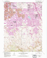
1965 Map of Highlands Ranch
USGS Topo · Published 1994About this map
The Cheese Ranch (Historical Site) sits at the heart of this landscape, marking a legacy of early ranching in the High Plains before the suburban expansion of the late 20th century. The transition from agricultural roots to a planned community is visible through the emerging street grids of Highlands Ranch and Greenwood Village, contrasted against the older rural holdings of McArthur Ranch. The drainage network, including Big Dry Creek and Marcy Gulch, dictates the placement of early infrastructure like the High Line Canal and the City Ditch, which historically managed the region's scarce water resources.
Find a feature on this map
83 named features on this map. Tap any name to fly to it.
Don’t see what you’re looking for? This feature index may not catch every label — zoom into the map to look around manually.
Map Details
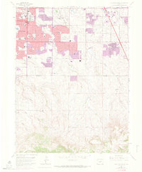
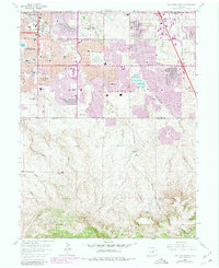
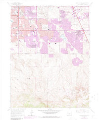
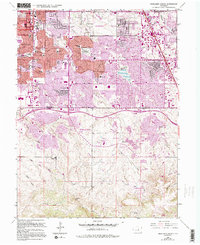
Editions of this 1965 Highlands Ranch Map
8 editions found
Other maps of this area

1890 · East Denver
USGS Topo · 1:125,000

1893 · Platte Canyon
USGS Topo · 1:125,000

1894 · Castle Rock
USGS Topo · 1:125,000

1899 · West Denver
USGS Topo · 1:125,000

1913 · Castle Rock
USGS Topo · 1:125,000

1935 · East Denver Nos. 3 and 4
USGS Topo · 1:48,000

1940 · Englewood
USGS Topo · 1:31,680

1940 · Castle Rock
USGS Topo · 1:62,500

1941 · Fitzsimons
USGS Topo · 1:31,680

1941 · Fort Logan
USGS Topo · 1:31,680