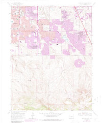
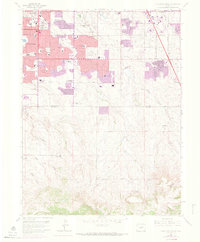
1965 Map of Highlands Ranch
USGS Topo · Published 1984About this map
Littleton sits at the western edge of this transition from mid-century suburbanization to the open range of the Colorado front range. The 1965 survey, updated with 1980 photogrammetric data, documents the aggressive southward push of the Denver metro area, where residential developments like Broadway Estates Shopping Center and Southglenn Shopping Ctr began replacing agricultural lands. The contrast between the grid-bound neighborhoods in the north and the expansive, gulch-cut terrain of Highlands Ranch to the south reveals the landscape just before its transformation into a massive planned community.
Find a feature on this map
61 named features on this map. Tap any name to fly to it.
Don’t see what you’re looking for? This feature index may not catch every label — zoom into the map to look around manually.
Map Details
Editions of this 1965 Highlands Ranch Map
8 editions found
Other maps of this area

1890 · East Denver
USGS Topo · 1:125,000

1893 · Platte Canyon
USGS Topo · 1:125,000

1894 · Castle Rock
USGS Topo · 1:125,000

1899 · West Denver
USGS Topo · 1:125,000

1913 · Castle Rock
USGS Topo · 1:125,000

1935 · East Denver Nos. 3 and 4
USGS Topo · 1:48,000

1940 · Englewood
USGS Topo · 1:31,680

1940 · Castle Rock
USGS Topo · 1:62,500

1941 · Fitzsimons
USGS Topo · 1:31,680

1941 · Fort Logan
USGS Topo · 1:31,680