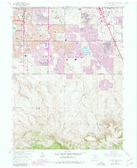
1965 Map of Highlands Ranch
USGS Topo · Published 1980About this map
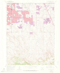
Highlands Ranch sits at the southern edge of the expanding Denver metropolitan area, where suburban development meets the open drainage basins of Big Dry Creek and Willow Creek. This 1965 survey, updated with 1978 photogrammetric data, captures the transformation of a landscape defined by large ranching tracts like the McArthur Ranch into a residential corridor. The northern portion of the map is dense with civic infrastructure including Arapahoe High Sch and the Southglenn Shopping Ctr. In contrast, the southern reaches show the natural topography of Marcy Gulch and Highlands Gulch before extensive paving. The inclusion of the Denver Technological Center signifies the shift toward commercial and tech-based land use that began defining the regional economy during this period. Local history is preserved in landmarks such as the Castlewood Grange and the Chapel Hill Memorial Gardens (Cemetery), providing anchor points for researchers tracing the area's mid-century growth.
Find a feature on this map
62 named features on this map. Tap any name to fly to it.
Don’t see what you’re looking for? This feature index may not catch every label — zoom into the map to look around manually.
Map Details
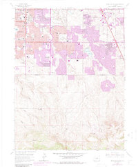
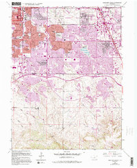
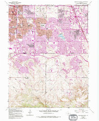
Editions of this 1965 Highlands Ranch Map
8 editions found
Other maps of this area

1890 · East Denver
USGS Topo · 1:125,000

1893 · Platte Canyon
USGS Topo · 1:125,000

1894 · Castle Rock
USGS Topo · 1:125,000

1899 · West Denver
USGS Topo · 1:125,000

1913 · Castle Rock
USGS Topo · 1:125,000

1935 · East Denver Nos. 3 and 4
USGS Topo · 1:48,000

1940 · Englewood
USGS Topo · 1:31,680

1940 · Castle Rock
USGS Topo · 1:62,500

1941 · Fitzsimons
USGS Topo · 1:31,680

1941 · Fort Logan
USGS Topo · 1:31,680