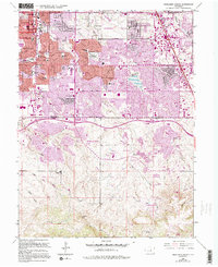
1965 Map of Highlands Ranch
USGS Topo · Published 1994About this map
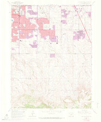
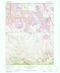
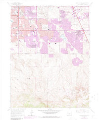
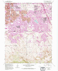
Highlands Ranch and its southern expanses are captured here during a significant period of suburban expansion into the high plains. The landscape transitions from the established residential grids of Englewood and Littleton in the northwest to the developing master-planned communities and ranch lands further south. The map documents an extensive network of educational and recreational facilities, including numerous local institutions like Newton Middle School and Arapahoe High Sch, alongside leisure spaces such as the Southglenn Country Club and The Links at Highland Ranch Golf Course.
Find a feature on this map
62 named features on this map. Tap any name to fly to it.
Don’t see what you’re looking for? This feature index may not catch every label — zoom into the map to look around manually.
Map Details
Editions of this 1965 Highlands Ranch Map
8 editions found
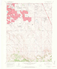
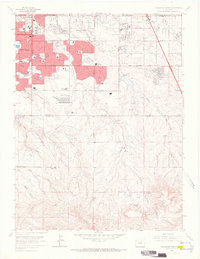
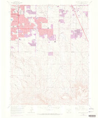
Other maps of this area

1890 · East Denver
USGS Topo · 1:125,000

1893 · Platte Canyon
USGS Topo · 1:125,000

1894 · Castle Rock
USGS Topo · 1:125,000

1899 · West Denver
USGS Topo · 1:125,000

1913 · Castle Rock
USGS Topo · 1:125,000

1935 · East Denver Nos. 3 and 4
USGS Topo · 1:48,000

1940 · Englewood
USGS Topo · 1:31,680

1940 · Castle Rock
USGS Topo · 1:62,500

1941 · Fitzsimons
USGS Topo · 1:31,680

1941 · Fort Logan
USGS Topo · 1:31,680